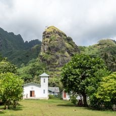
Puka-Puka, Coral atoll in Tuamotus, French Polynesia
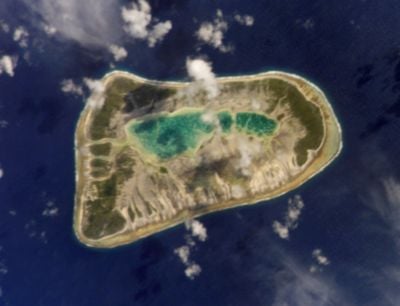
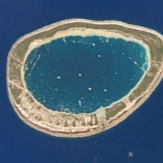
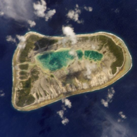
Puka-Puka is an elliptical coral atoll in the north-eastern Tuamotu Archipelago, about 6.3 km long and 3.7 km wide, with roughly 5 km2 of land. Its small lagoon, some 2 km2, is silted and has no real pass to the ocean. The atoll is the coral growth on top of a submarine volcano formed 41.5 to 41.9 million years ago.
Magellan's 1521 expedition likely sighted Puka-Puka and charted it as San Pablo, one of the Islas Infortunadas. Dutch explorers Willem Schouten and Jacob Le Maire reached the atoll on 10 April 1616 and named it Honden Eiland, Dog Island. Otto von Kotzebue called it Île Douteuse in 1816; FitzRoy and Wilkes later used Dog Island. France took possession around 1850.
The people here speak Pukapukan, a Marquesic language distinct from dialects elsewhere in the Tuamotu Archipelago. This language shapes daily life and gives the community its own identity.
Puka-Puka Airport has a 950-metre runway, renovated after the August 2011 floods to keep this isolated atoll reachable; it handles about 100 flights and 1,200 passengers a year, half of them in transit. The lagoon has no real pass to the ocean, so the atoll is reached by air. Te One Mahina, on the western side, is the seat of the commune.
On 30 July 1947 Thor Heyerdahl and his six-man crew aboard the balsa raft Kon-Tiki sighted Puka-Puka, their first land after 97 days and about 6,700 km at sea since leaving Callao, Peru.
The community of curious travelers
AroundUs brings together thousands of curated places, local tips, and hidden gems, enriched daily by 92,604 contributors worldwide.