Pukarua, Coral atoll in eastern Tuamotu Archipelago, French Polynesia
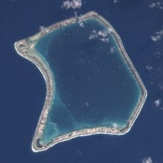
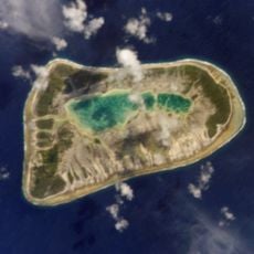
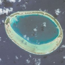
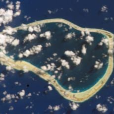
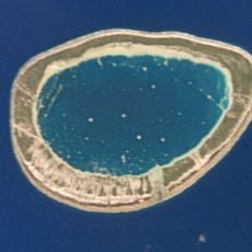
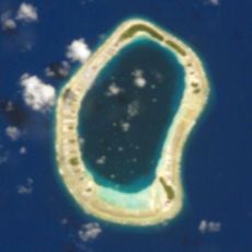
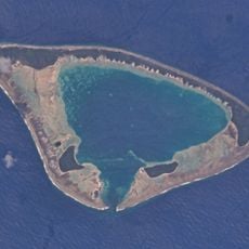
Pukarua is a coral atoll in the eastern Tuamotu Archipelago, 16 to 17 km long and up to 4.5 km wide, with 7 km² of land around a 23 km² lagoon. Its northeastern reef carries a long main islet shaped like a fish hook, with smaller islets along the rim. The reef has no navigable pass; a shallow channel and a landing stage serve small boats.
British mariner James Wilson documented the atoll in 1797 during his voyage from Tonga to the Marquesas aboard the ship Duff. This early record marked the first known European documentation of the island.
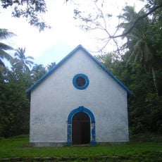
The parish of Saint-Benoît was founded in 1875, and its church, attached to the Diocese of Papeete, still stands at Marautagaroa on the western tip of the atoll. The village holds about 100 of Pukarua's 236 inhabitants (2017 census). Islanders call the giant clams pa'ua and gather them from the lagoon.
Pukarua has its own airfield, inaugurated in 1979, whose runway was lengthened from 900 to 1,200 m in April 2006; it handles about a hundred flights and 1,800 passengers a year. The reef has no navigable pass, so boats use a shallow channel and a landing stage suited to small craft. The village of Marautagaroa lies at the western tip of the atoll.
The lagoon's giant clams, called pa'ua locally, are common enough that free diving among them is the atoll's main draw. The atoll has no navigable pass; a shallow channel and a landing stage let small boats in. The 1979 airfield handles about 100 flights and 1,800 passengers a year, half in transit.
The community of curious travelers
AroundUs brings together thousands of curated places, local tips, and hidden gems, enriched daily by 92,705 contributors worldwide.