Maria Est, Uninhabited atoll in the Gambier Islands, French Polynesia
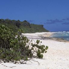
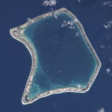
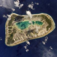
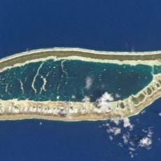
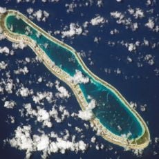
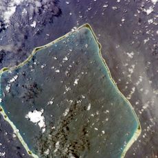
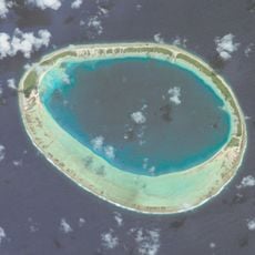
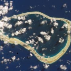
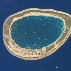
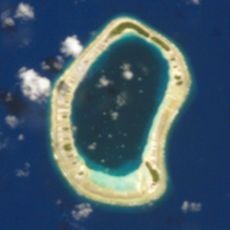
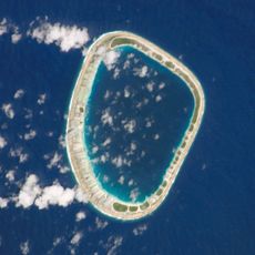
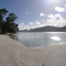
Maria Est is an uninhabited oval atoll in the far southeast of the Tuamotu group, French Polynesia. It is 5.6 km long and 2.9 km wide, bound by a continuous reef, with low, flat islets and a hypersaline lagoon. Its pale reef ring encloses turquoise shallows, with olive-green and brown patches along the inner edge.
Maria Est was first reached by a European in 1829, when Jacques-Antoine Moerenhout arrived; some maps later labelled it Moerenhout Island. Its Polynesian name Maria has no link to the Virgin Mary. Administratively it belongs to the commune of the Gambier Islands.
The maritime demarcation influences fishing practices and marine resource management for communities in French Polynesia's southeastern archipelago.
Navigators use maritime charts and GPS coordinates to observe this boundary when traveling through the area. Vessels must respect the territorial restrictions when passing through French Polynesian waters.
Maria Est is also called Maria Atoll, and its Polynesian name has no link to the Virgin Mary. On some maps the atoll appears as Moerenhout Island, after Jacques-Antoine Moerenhout, the first recorded European to reach it, in 1829. The name Maria Est distinguishes it from Maria (Nororotu) in the Tubuai, or Austral, Islands.
The community of curious travelers
AroundUs brings together thousands of curated places, local tips, and hidden gems, enriched daily by 93,785 contributors worldwide.