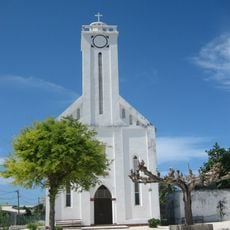
Tatakoto, Maritime boundary near Tatakoto, French Polynesia, France
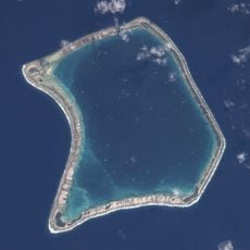
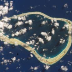
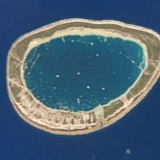
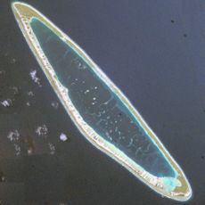
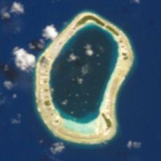
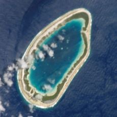
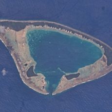
Tatakoto is an atoll in the eastern Tuamotu group, 1,182 km east of Tahiti. It is 14 km long and 3.5 km wide, with one large island and 65 islets on the reef around a 20 km² lagoon that has no navigable pass. The land, about 7.3 km², is flat and lies just above sea level; the main village is Tumukuru, at the western tip.
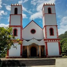
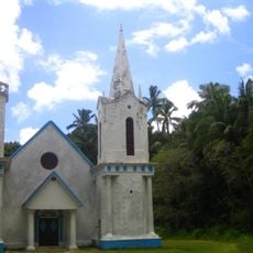
Two Spanish captains, Domingo de Bonechea and José Andía y Varela, landed separately on 29 October 1774, the feast of Saint Narcissus, and named the atoll San Narciso. Later visitors called it Île d'Augier and Clerkes Island. In the 19th century it became a French territory of about 120 inhabitants, and the parish of the Immaculate Conception was founded in 1868, with its church built in 1957.
Tumukuru, at the western tip of the atoll, holds the parish of the Immaculate Conception, founded in 1868, whose church was built in 1957 and belongs to the Diocese of Papeete. The lagoon's giant clams, called koeha in Paumotu, are farmed for their meat and for export to European and Asian aquariums.
Tatakoto is served by an airport inaugurated in 1979, with a 1,200 m runway south of Tumukuru village; it handles roughly 100 to 175 flights and 2,000 to 3,000 passengers a year. The lagoon has no navigable pass, so boats cannot enter it from the ocean. The main village, Tumukuru, sits at the western tip of the atoll.
Tatakoto's lagoon has no navigable pass to the ocean, so its water stays enclosed by the reef. This isolation, with strong daily temperature swings, supports corals of the genus Acropora that tolerate conditions usually harmful to them; CNRS researchers, with UNESCO and the 1 OCEAN programme, study whether this tolerance is acclimatisation or genetic adaptation.
The community of curious travelers
AroundUs brings together thousands of curated places, local tips, and hidden gems, enriched daily by 93,625 contributors worldwide.