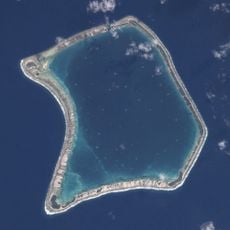
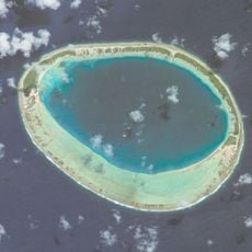
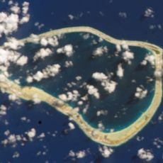
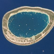
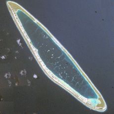
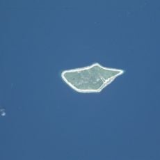
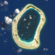
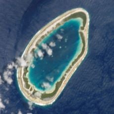
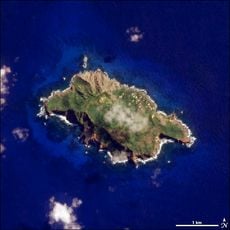
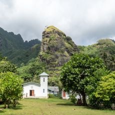
Mount Duff, Mountain summit in Mangareva, French Polynesia
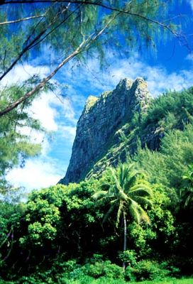
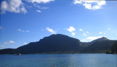
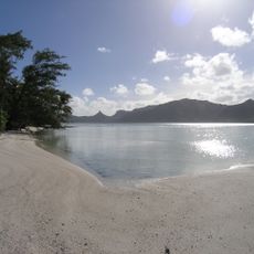
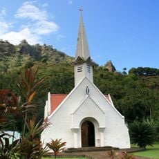
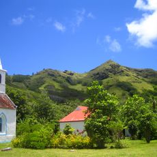
Mount Duff is a volcanic peak rising 441 meters above sea level on Mangareva Island and stands as the highest point in the Gambier Islands. The summit consists of steep rocky slopes that command views across the archipelago and the surrounding ocean.
The mountain took its name from the missionary ship Duff, which transported members of the London Missionary Society to the Pacific in the early 1800s. This European naming reflects the period when explorers and missionaries were charting the region and establishing contact with island communities.
The Mangarevan people have long called this mountain Auorotini, a name that reflects their connection to the land and remains in use today alongside the European name. For locals, the summit holds meaning as a landmark that defines the shape and identity of their island.
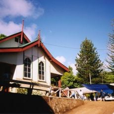
The trail begins near Rikitea village and takes around three hours to reach the summit, featuring steep sections and rocky terrain throughout. Proper footwear and plenty of water are important since much of the route lacks shade and can be physically demanding.
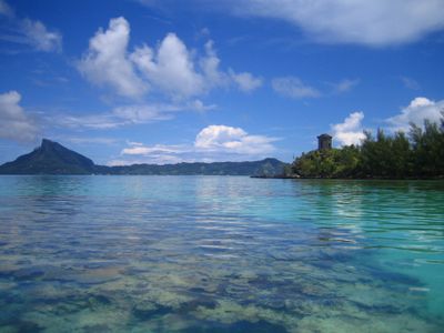
The summit sits in remarkable isolation in the Pacific and has long served as a natural beacon for seafarers and fishermen navigating the waters around the Gambier Islands. The peak remains one of the most useful visual references for those approaching the archipelago from the ocean.
The community of curious travelers
AroundUs brings together thousands of curated places, local tips, and hidden gems, enriched daily by 60,000 contributors worldwide.