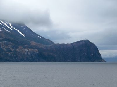
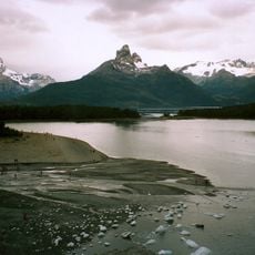
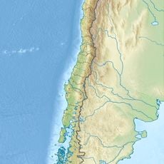
Cape Froward, Southern headland in Magallanes Region, Chile.
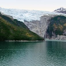
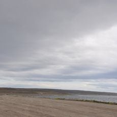
Cape Froward is a rocky headland located at the southernmost tip of continental South America. It rises approximately 214 meters (702 feet) above the water of the Magellan Strait that surrounds this isolated point.
English sailors first explored this southernmost point in the late 1500s while navigating the Magellan Strait. The name given to this location during that early voyage became the standard used on maps ever since.
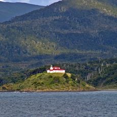
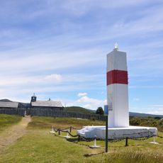
The cross standing on the cape marks a moment when this remote place received global attention from a religious leader. For people in this region, the cape represents the symbolic edge where South America literally ends.
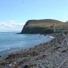
Getting there is best done by sea, as land routes are rarely available in this remote area. Prepare for harsh weather conditions and work with local maritime operators who know the waters and terrain.
The location sits at an extreme geographical coordinate marking the literal end of the South American mainland. This makes it a special destination for travelers seeking to reach the final edge of a continent.
Location: Magellan and the Chilean Antarctic Region
Elevation above the sea: 214 m
GPS coordinates: -53.89294,-71.30642
Latest update: December 6, 2025 16:03
Patagonia extends across the southern reaches of Chile and Argentina, encompassing a range of natural landscapes from active glaciers to volcanic peaks. The region presents a mixture of ice, stone and water, with national parks protecting thousands of square miles of undeveloped terrain. The land...
Fuerte Bulnes
38.8 km
Puerto del Hambre
40.1 km
Palacio Sara Braun
85.5 km
Alberto de Agostini National Park
111.3 km
Los Pingüinos Natural Monument
126 km
Plaza Muñoz Gamero
85.4 km
San Isidro lighthouse
24.5 km
Magallanes National Reserve
85.5 km
Jornadas por la Rehabilitación en Magallanes
88.1 kmAlmirantazgo Fjord
127 km
Francisco Coloane Coastal and Marine Protected Area
33.1 km
Museo Regional de Magallanes
85.6 km
Agostini Fjord
82.8 km
Monumento natural Laguna de los Cisnes
94.8 km
Río Seco
97.4 km
Penitenciaría local de Punta Arenas
85.6 km
Monte Buckland
81.8 km
Museo Municipal Fernando Cordero Rusque
91 km
Palacio José Montes
85.4 km
Magdalena Island lighthouse
118.8 km
Prefectura de Carabineros de Punta Arenas
85.6 km
Santa Ines Island Icefield
84.4 km
Gendarmería de Punta Arenas
85.5 km
Residencia Beaulier
85.8 km
Phare de la baie de Porvenir
85.4 km
Fiordo Garibaldi
131.1 km
Punta Santa Ana Lighthouse
38.8 km
Museo Salesiano Maggiorino Borgatello
86.3 kmVisited this place? Tap the stars to rate it and share your experience / photos with the community! Try now! You can cancel it anytime.
Discover hidden gems everywhere you go!
From secret cafés to breathtaking viewpoints, skip the crowded tourist spots and find places that match your style. Our app makes it easy with voice search, smart filtering, route optimization, and insider tips from travelers worldwide. Download now for the complete mobile experience.
A unique approach to discovering new places❞
— Le Figaro
All the places worth exploring❞
— France Info
A tailor-made excursion in just a few clicks❞
— 20 Minutes