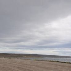
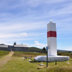
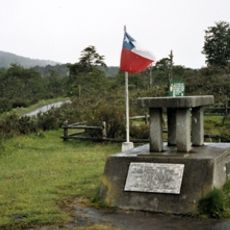
Magallanes National Reserve, Protected conservation area near Punta Arenas, Chile.
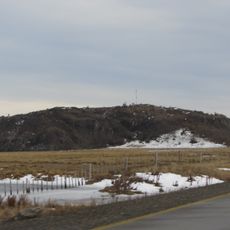
Magallanes National Reserve is a forest and water reserve 5 km west of Punta Arenas, covering 20,878 hectares. Three rivers rise within it and drain into the Strait of Magellan: the Río de las Minas, the Chorrillo Tres Puentes and the Río de los Ciervos. Its native Lenga and Coigüe beech forests shelter puma, culpeo and grey fox.
Magallanes National Reserve was created by supreme decree on 13 February 1932 to protect the Lynch Lagoon watershed, the main drinking-water source for Punta Arenas. In 1939 the reserve was enlarged to its present 20,878 hectares. It is administered by CONAF, Chile's National Forestry Corporation.
The reserve's name comes from the Magallanes region, and its trails carry local names: the longest hiking route is the 9.8 km Las Lengas circuit, named for the lenga beech trees it crosses. The information room at the Las Minas sector holds photographs and a scale model of the reserve.
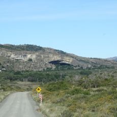
You will need a vehicle to reach this place, as access is via a gravel road from Salvador Allende Avenue in Punta Arenas. No public transportation serves the reserve, so you must arrange your own transportation or rent a car.
In the summer of 2023, researchers recorded a pair of huemuls on the Las Lengas trail, the first sighting in the reserve in 91 years. The reserve also hosts over 75 bird species, among them the Magellanic woodpecker, ringed kingfisher and austral parakeet.
The community of curious travelers
AroundUs brings together thousands of curated places, local tips, and hidden gems, enriched daily by 94,048 contributors worldwide.