Magallanes Basin, Geological structure in Patagonia, Argentina and Chile.
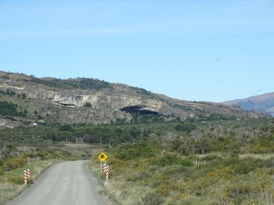
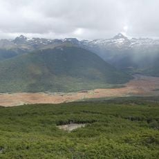
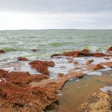
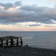
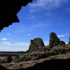
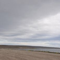
The Magallanes Basin is a large geological depression in southern Patagonia spanning both Argentina and Chile. The region displays layers of sedimentary rock shaped by modern erosion, sitting between mountain ranges and flatter lowland areas.
The basin formed roughly 150 million years ago during the Jurassic period and went through several phases of geological reshaping. This transformation from an extensional basin to one under compression shaped the landscape of southernmost South America.
Indigenous communities in the Magallanes Basin region maintain traditional practices while adapting to modern resource management and environmental conservation methods.
The region is very remote and difficult to access without local transportation arrangements. Best visiting is during warmer months when roads and weather conditions are more favorable.
The basin holds significant coal reserves, especially lignite and sub-bituminous coal, preserved within the sediment layers over millions of years. These resources were extracted for mining and energy production for extended periods.
The community of curious travelers
AroundUs brings together thousands of curated places, local tips, and hidden gems, enriched daily by 60,000 contributors worldwide.