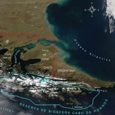
Alberto de Agostini National Park, National park in Magallanes Region, Chile
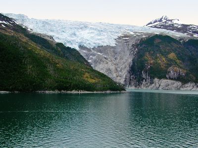
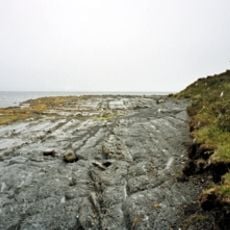
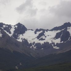
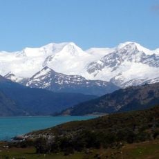
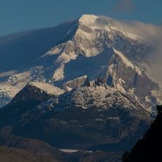
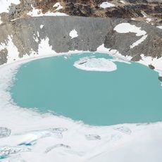
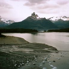
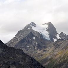
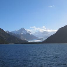
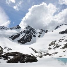
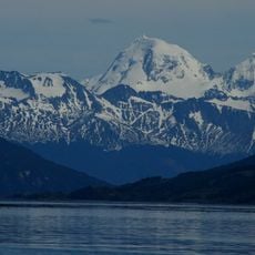
Alberto de Agostini is a national park in Magallanes Region that encompasses the Darwin Mountain Range with deep fjords, glaciers, and untouched forests across about 14,600 square kilometers of Patagonian terrain. The landscape shows steep mountain slopes, turquoise waters, and a mix of snow fields and forest areas.
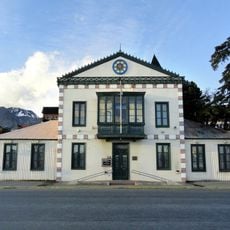
The area became a national park in 1965, named after Italian priest Alberto Maria de Agostini who explored and documented the region through photographs. His early 20th century expeditions introduced these remote landscapes to the scientific community and public.
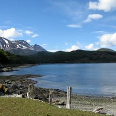
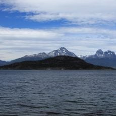
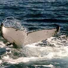
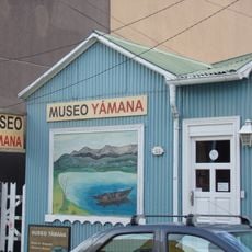
The waters surrounding this land were home to the Yámana people, who developed fishing techniques in the Beagle Channel over thousands of years. Visitors can still see the landscape that shaped this indigenous way of life.
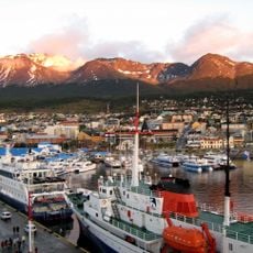
The park is accessible only by ship from Punta Arenas, with private companies operating regular voyages on established routes. Navigation through the fjords requires patience and appropriate clothing for the harsh, changeable climate of this southern region.
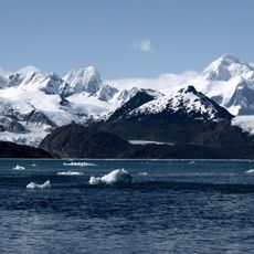
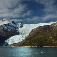
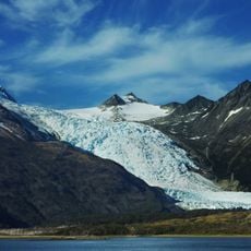
The Marinelli Glacier is the largest ice formation in this place and drops steeply into the sea, setting it apart from many other South American glaciers. This feature makes it a standout element of the local glacial landscape.
The community of curious travelers
AroundUs brings together thousands of curated places, local tips, and hidden gems, enriched daily by 60,000 contributors worldwide.