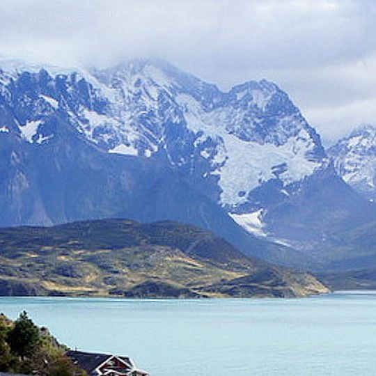
Patagonia, Geographic region in southern Chile.
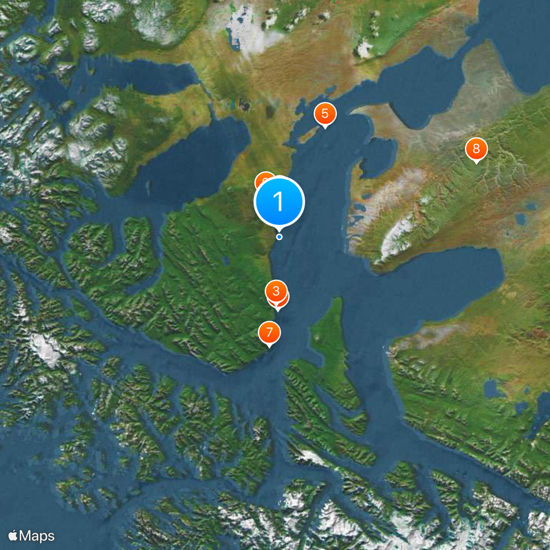
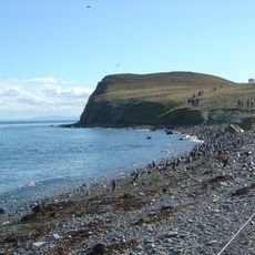
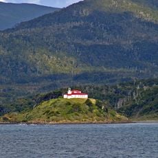
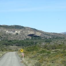
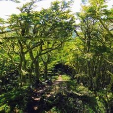
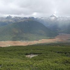
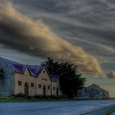
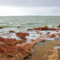
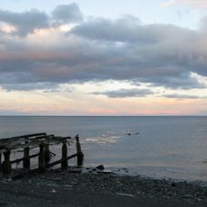
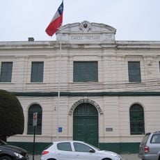
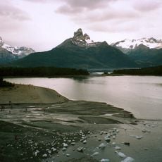
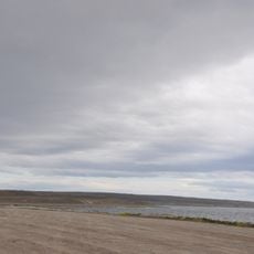
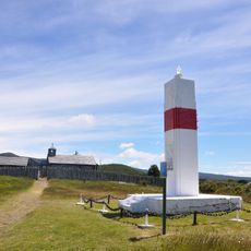
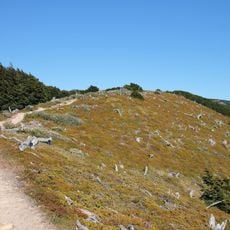
Patagonia is a geographic region in southern Chile that stretches from the Pacific Ocean to the Andes mountain range. The area includes fjords, glaciers, valleys, and sprawling mountain chains that together form a varied landscape.
The first border treaty between Chile and Argentina concerning the region was signed in 1856. This agreement launched decades of negotiations over regional sovereignty and the precise drawing of boundaries.
Indigenous groups of the Chilean region traveled in dugout canoes to move through the winding network of fjords and channels. These waterways served for centuries as the main routes connecting scattered settlements along the coast.
The region receives varying amounts of rainfall throughout the year, with western areas collecting more due to the barrier effect of the Andes. Travelers should prepare for changing weather conditions and pack layered clothing.
The Colorado River and Barrancas River in Argentina, together with the Huincul Fault in Chile, mark the northern geographic boundaries of the region. These natural formations have long served as reference points for defining the spatial extent of the area.
The community of curious travelers
AroundUs brings together thousands of curated places, local tips, and hidden gems, enriched daily by 92,382 contributors worldwide.