Llanquihue Lake, Glacial lake in Los Lagos Region, Chile
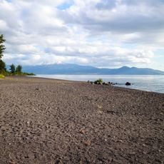
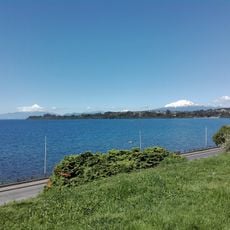
Llanquihue Lake is Chile's second-largest lake, covering about 871 km² at 70 m above sea level between the Llanquihue and Osorno provinces. Its fan-shaped basin was carved by successive piedmont glaciers, and the snow-capped cone of Osorno volcano rises above the eastern shore.
Llanquihue Lake occupies a basin carved by successive piedmont glaciers during the Quaternary glaciations; Chile names its last glacial period, the Llanquihue glaciation, after the terminal moraines ringing the lake. Pedro de Valdivia reached it in March or April 1552 and reported a lake some forty leagues long; early maps called it laguna de Hueñauca.
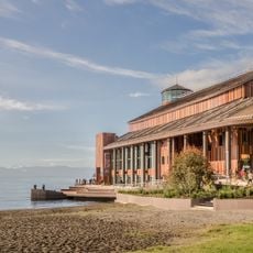
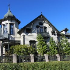
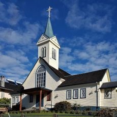
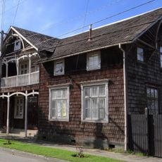
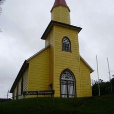
The name derives from Mapudungun llanquyn-we, "sunken place"; 19th-century geographer Francisco Astaburuaga glossed llanquyn as "to sink into the water" and hue as "spot". Spanish chronicles first recorded it as laguna de Hueñauca. The Mapuche Legend of Licarayén explains its origin. Today its shore holds Puerto Varas, Frutillar, Puerto Octay and Llanquihue, plus the bathing spots Las Cascadas and Ensenada.
The lake drains southwest through the Maullín River, which begins about 9 km northwest of Puerto Varas. Short tributaries feed it from the western slope of Osorno volcano (2652 m) and the northern slope of Calbuco volcano (2016 m), the largest being the Pescado River, which enters between La Poza and Punta de los Ingleses.
The lake's fan-shaped outline comes from successive piedmont glaciers of the Quaternary glaciations. Chilean geologists named the last glacial period the Llanquihue glaciation after the terminal moraine systems ringing the water.
The community of curious travelers
AroundUs brings together thousands of curated places, local tips, and hidden gems, enriched daily by 92,750 contributors worldwide.