Carampangue River, River and natural reserve in Arauco Province, Chile
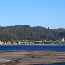
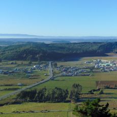
The Carampangue is a river in Arauco Province that flows from La Piedra hill in the Nahuelbuta Range northwestward until it empties into the Bay of Arauco. The river receives multiple streams from forests in the Nahuelbuta Range, creating a diverse network of tributaries throughout its course.
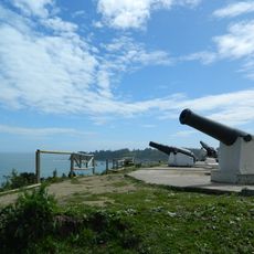
During the colonial period, Spanish forces established the fort of San Felipe de Rauco on the lower section of the river under Pedro de Valdivia's leadership. This fortification was part of early European expansion into the region and shaped the development of Arauco Province.
The river's name comes from Mapudungun words: 'caran' meaning to establish a settlement and 'pangui' referring to the mountain lion, reflecting the indigenous heritage of the region. This naming shows how Mapuche culture is rooted in the landscape here.
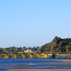
The final 14 kilometers of the river maintain sufficient depth year-round for small boat navigation and exploration. This makes it accessible and easy to traverse this section regardless of the season.
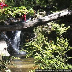
The forest areas of the Nahuelbuta Range feed numerous small streams that merge to form this river, creating a complex water network across the landscape. This system shows how highland forests support the water resources of the surrounding coastal plains.
The community of curious travelers
AroundUs brings together thousands of curated places, local tips, and hidden gems, enriched daily by 60,000 contributors worldwide.