Biobío Region, Administrative region in central Chile
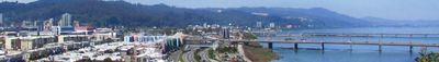
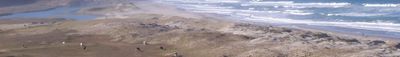
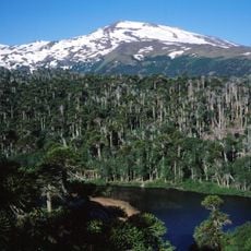
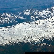
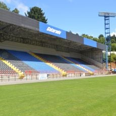
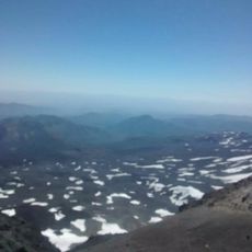
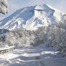
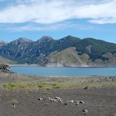
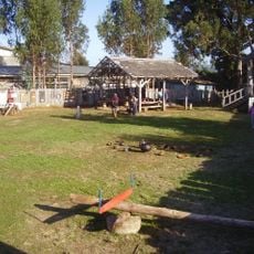
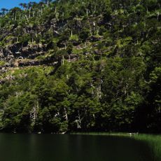
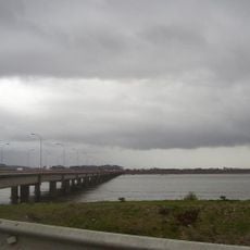
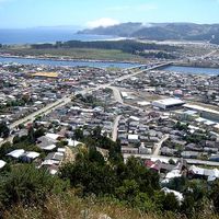
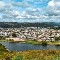
The Biobío Region is an administrative territory in south-central Chile, running from the Pacific Ocean to the Andes range and covering coastal zones with thickly wooded valleys. Visitors find a mix of port towns, wide river valleys, and mountains marked by temperate weather and frequent rain.
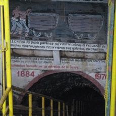
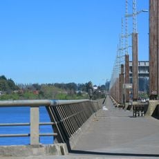
The area remained under Mapuche control until the 1860s, when the Chilean army incorporated the territory decades after independence. This incorporation changed the landscape through settlement, new roads, and the development of ports along the coast.
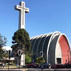
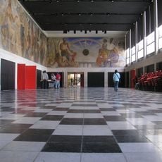
Looking at one part of this large area, the Cathedral of Concepción at Plaza de la Independencia shows the religious life of locals and the architecture from the mid twentieth century. The square in front remains a meeting point where people stroll or pause before the tall facade.
Travelers arrive through Carriel Sur Airport in Talcahuano or use regular bus connections from Santiago and other Chilean cities. Those heading outdoors should bring rain gear, as the weather can change quickly.
In Talcahuano port sits the nineteenth-century ironclad Huáscar, now open as a floating museum to visitors. On board, you can walk through narrow passages and see the original cannons and officers' cabins that tell the story of seafaring life at that time.
Location: Chile
Capital city: Concepción
Elevation above the sea: 119 m
Reference: VIII
Shares border with: Araucanía Region, Neuquén Province, Ñuble Region
Website: http://gorebiobio.cl
GPS coordinates: -36.77278,-73.06306
Latest update: December 14, 2025 22:43
Photo license: CC BY-SA 2.0
Photo license: CC0
Laja Falls
78 km
Malleco Viaduct
143.5 km
El Chiflón del Diablo
34.8 km
Copahue
205.7 km
Parque Isidora Cousiño
36.9 km
Nevados de Chillán
147.5 km
Presencia de America Latina
6.4 km
Nahuelbuta National Park
114.1 km
Antuco
167.7 km
St. Charles Borromeo Cathedral
87.8 km
Estadio Huachipato-CAP Acero
4.4 km
Volcán Nuevo
150.5 km
Lonquimay
221.1 km
Laguna del Laja National Park
166.8 km
Santuario de San Sebastián de Yumbel
57.4 km
Plaza de la Independencia, Concepción
6.1 km
Ramuntcho
11.1 km
Chivilingo Hydroelectric Plant
41.1 km
Estadio Municipal Nelson Oyarzún Arenas
87 km
Bellavista Oveja Tome
18.1 km
Casa del Arte
6.4 km
Campanil
6.6 km
Corte de Apelaciones de Concepción
6.1 km
Fort Tucapel
117.8 km
Puente Llacolén
7 km
Tolhuaca National Park
194.1 km
Historia de Concepción
5.5 km
Juan Pablo II Bridge
6.2 kmVisited this place? Tap the stars to rate it and share your experience / photos with the community! Try now! You can cancel it anytime.
Discover hidden gems everywhere you go!
From secret cafés to breathtaking viewpoints, skip the crowded tourist spots and find places that match your style. Our app makes it easy with voice search, smart filtering, route optimization, and insider tips from travelers worldwide. Download now for the complete mobile experience.
A unique approach to discovering new places❞
— Le Figaro
All the places worth exploring❞
— France Info
A tailor-made excursion in just a few clicks❞
— 20 Minutes