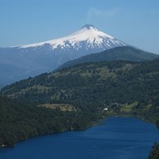
Lonquimay, Stratovolcano in La Araucanía Region, Chile
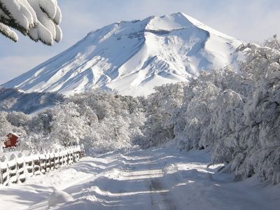
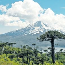
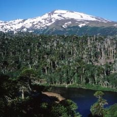
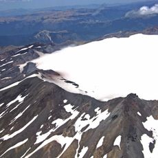
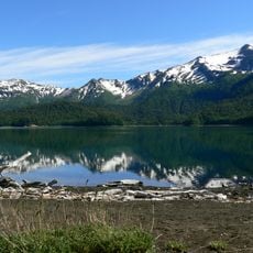
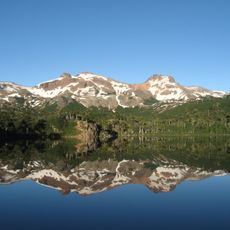
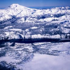
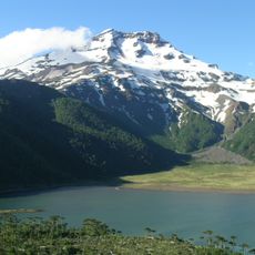
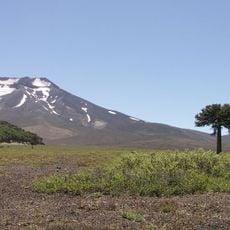
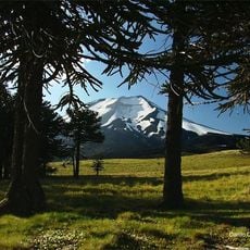
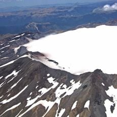
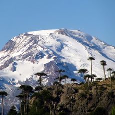
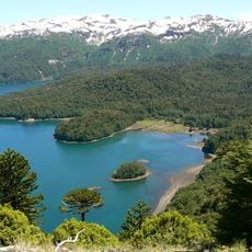
Lonquimay is a cone-shaped volcano in the Andes with a height of 2,865 meters and a summit crater spanning roughly 800 meters across. The mountain stands in La Araucanía and defines the landscape with its distinctive form.
The volcano has been geologically active for decades, with a major eruption in 1988 that lasted about a year and brought significant changes to the region. This event left visible marks on the landscape and shaped the area's recent history.
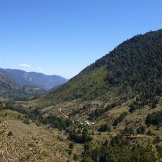
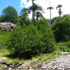
Indigenous Mapuche communities in the area have preserved their way of life and customs that shape how people interact with the volcanic landscape today. You can observe their presence in local practices and how the land is used by its inhabitants.
The mountain is frequently snow-covered during winter months, making activities like skiing possible from June through September. Visitors should bring appropriate clothing and gear depending on the season, as conditions can change quickly.
Future volcanic activity will likely emerge from flanks on the sides of the mountain rather than from the summit. This happens because the volcano has reached its maximum height and pressure builds differently inside.
The community of curious travelers
AroundUs brings together thousands of curated places, local tips, and hidden gems, enriched daily by 60,000 contributors worldwide.