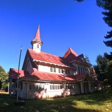
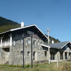
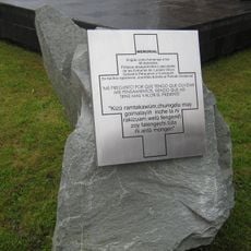
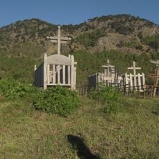
Malalcahuello National Reserve, National reserve in Malleco Province, Chile.
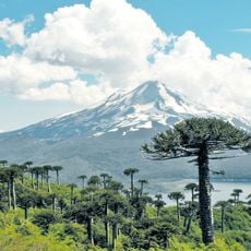
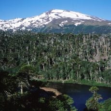
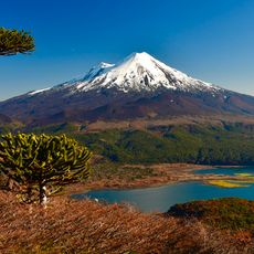
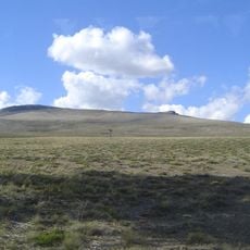
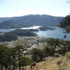
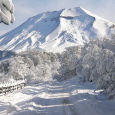
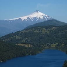
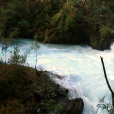
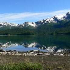
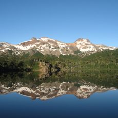
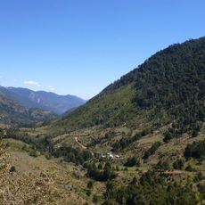
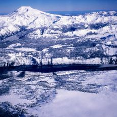
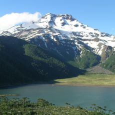
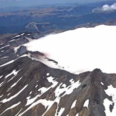
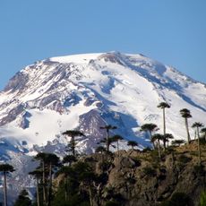
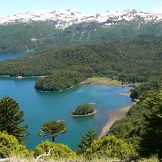
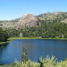
Malalcahuello National Reserve is a protected area in Malleco Province with forests, rivers, and volcanic formations spread across its terrain. The reserve covers around 13,000 hectares and is dominated by Lonquimay volcano, which rises above 2,800 meters.
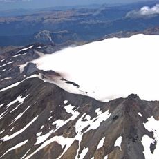
The reserve lies on land shaped by Lonquimay volcano, whose flank eruption that began on 25 December 1988 opened the Navidad crater; the eruption ended in the summer of 1990, leaving recent volcanic scoria in the area. Its name comes from Mapudungun, meaning horse corral.
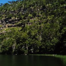
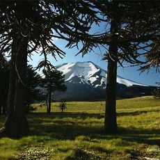
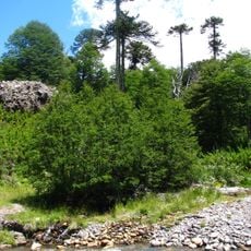
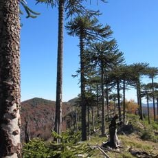
The name Malalcahuello comes from Mapudungun and means "horse corral". The reserve lies in the communes of Lonquimay and Curacautín, Araucanía Region, and its forests hold araucaria (Araucaria araucana) and cypress of the cordillera (Austrocedrus chilensis), both listed as species with conservation problems. Visitors can also look for the guiña, the southern puma, the pudú and the black woodpecker.
The reserve lies in the communes of Lonquimay and Curacautín, about 120 km from Temuco. Trails range from the 1.5 km Las Araucarias loop to the 30 km El Coloradito, and a 30 km mountain-bike route runs from Malalcahuello to Lolco. Snow accumulates heavily in winter at higher elevations, so plan for cold conditions.
The Navidad crater, on the flank of Lonquimay volcano, formed during an eruption that ended in the summer of 1990, leaving recent volcanic scoria in the reserve. The name Malalcahuello comes from Mapudungun and means "corral of horses". The reserve lies in the communes of Lonquimay and Curacautín, about 120 km from Temuco.
The community of curious travelers
AroundUs brings together thousands of curated places, local tips, and hidden gems, enriched daily by 92,635 contributors worldwide.