Villarrica National Reserve, National reserve in Cautín Province, Chile.
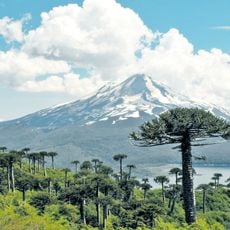
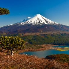
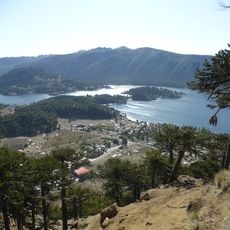
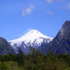
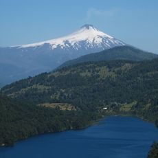
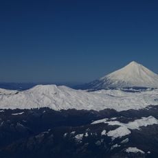
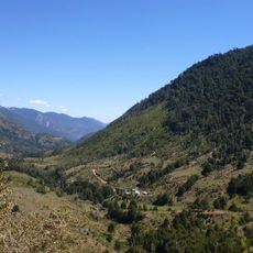
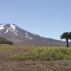
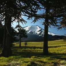
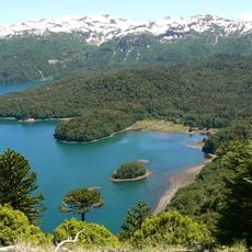
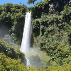
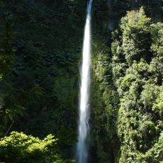
Villarrica National Reserve, also called Hualalafquén, lies in Cautín Province and is split into eleven separate sections after land was removed for Villarrica and Huerquehue national parks. Its main sectors are Hualalafquén, Quekhue, Quilembre, Pangui 1 and Llafa. The reserve covers 61,462 hectares of Andean forest with araucarias, lengas and coigües, and includes the Nevados de Sollipulli and a glacier of about 12 km².
Created on 18 October 1912 as the Villarrica Forest Reserve by Supreme Decree No. 1722 of the Ministry of Industry and Public Works, it originally covered 165,000 hectares, with oak the most abundant species and coigüe dominant in places. Land was later withdrawn to form Villarrica National Park in 1940 and Huerquehue National Park, leaving 61,462 hectares split into eleven sections.
Mapuche communities live inside the reserve, including the settlements of Santiago Calfual, Manuel Marillanca, Juan de Dios Ancamil and Newen Mapu Aukinko. They have inhabited the area for many years and take part in caring for its flora and fauna. The name Hualalafquén belongs to the main of the reserve's eleven sections.
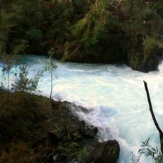
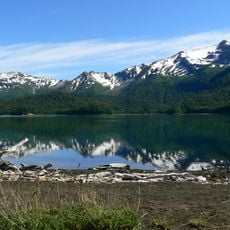
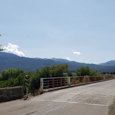
Access is via Chile Route 199, which leads to the Puesco sector; the reserve's main section is reached from Pucón toward the Rucapillán and Quetrupillán sectors. The 7 km trail to Lago Hualalafquén takes about four hours round trip, and part of the route follows the Chufquén river. Entry crosses private land inside the reserve, and treks can be made with the reserve's park rangers.
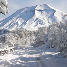
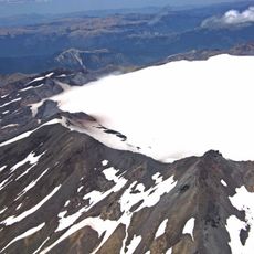
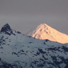
The Nevados de Sollipulli, north of the reserve's main section, holds a glacier of roughly 12 km² that can be seen on the trail to Lake Huesquefilo. The same route passes through araucaria forest where condors and guiñas are reported.
The community of curious travelers
AroundUs brings together thousands of curated places, local tips, and hidden gems, enriched daily by 94,655 contributors worldwide.