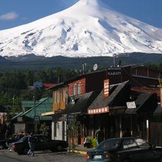
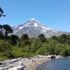
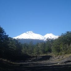
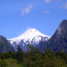
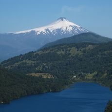
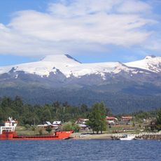
Quetrupillán, Stratovolcano in Los Ríos Region, Chile.
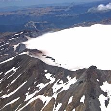
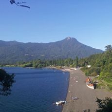
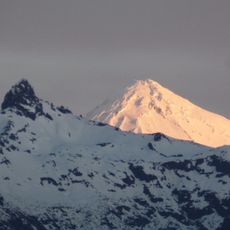
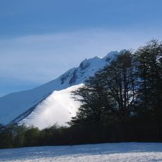
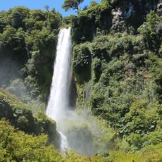
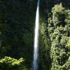
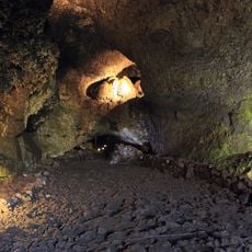
Quetrupillán is a stratovolcano with two snow-covered summits rising to 2,360 meters between Villarrica and Lanín, located within Villarrica National Park. Its slopes display layered geological features from different eruption cycles, with lava flows and rock formations visible across its flanks.
Quetrupillán began erupting before the ice ages, when calderas and earlier stratovolcanoes formed; during the glaciations lava flows and ignimbrites were emplaced, and the present stratovolcano was built towards the end of the glaciation. The Moraga sequence, a prolonged eruption, was deposited 12,720 ± 40 to 12,690 ± 40 years BP, and the Puala sequence 10,240 ± 40 years BP. Pyroclastic flows and ash falls from these phases lie east of the volcano. No detailed record of its eruptive history exists.
The name Quetrupillán derives from Mapudungun words meaning "blunted" or "mutilated", referring to the volcano's truncated cone, and the same name is sometimes applied to neighbouring Lanín. The volcano and its neighbours form part of the Kütralkura geopark, an important tourism destination. Access routes cross private land at Fundo Porvenir, a case documented by Andeshandbook and Wikiexplora in the debate over free access to the mountains.
The best time to visit is during warmer months when snow does not block higher sections and trails remain passable. Hikers should consider hiring local guides, as mountain routes can be technically demanding and require proper preparation.
Quetrupillán's summit caldera is filled by a glacier, and the volcano has lost its cone to a violent eruption, leaving it blunted, which is what its name means. Its 16 lateral vents include the Huililco scoria cone, which produced two lava flows.
The community of curious travelers
AroundUs brings together thousands of curated places, local tips, and hidden gems, enriched daily by 94,359 contributors worldwide.