Villarrica National Park, National park in La Araucanía and Los Ríos, Chile
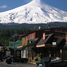
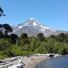
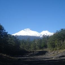
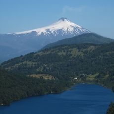
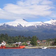
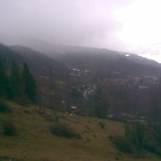
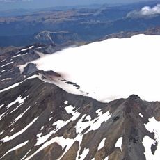
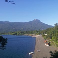
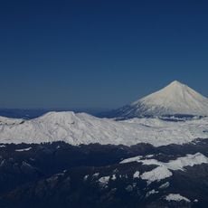
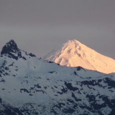
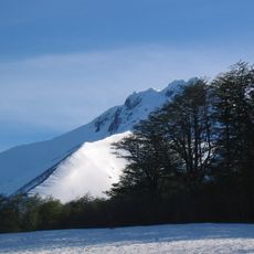
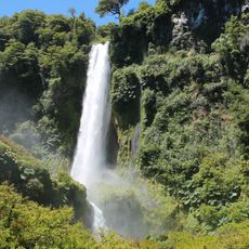
Villarrica National Park lies in the Andes across Chile's La Araucanía and Los Ríos regions, 12 km southwest of Pucón. Its centerpiece is a transverse line of three volcanoes: Villarrica (2,847 m), Quetrupillán (2,360 m) and Lanín (3,776 m). The park covers 63,000 hectares, from 600 m to the Lanín summit, and protects Valdivian temperate rainforest with roble, raulí, coihue and Araucaria araucana.
The park was established in 1940 to protect ancient Araucaria forests that have grown in this region for thousands of years. Its creation proved to be an important step in preserving an ecosystem that has sustained the Pehuenche communities since time immemorial.
The Mapuche communities maintain deep connections to this place, especially through the Araucaria trees whose seeds have shaped their food traditions for generations. The park represents for local people a living relationship between humans and nature that remains visible in their everyday practices today.
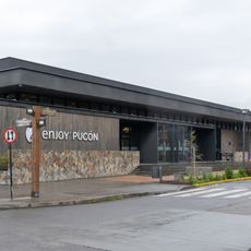
Access is by road from Pucón via Rucapillán on Ruta CH-199, or via Curarrehue to the Puesco sector, about 56 km and 1.5 hours. From Temuco the drive via Freire, Villarrica and Pucón covers 120 km. A ski centre operates in the park, and camping areas are available in summer.
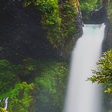
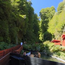
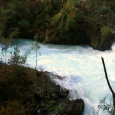
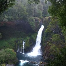
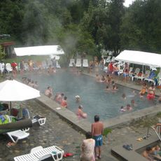
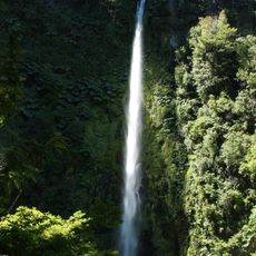
Termas Geométricas lies in a ravine inside the park forest, where 60 hot springs and cold waterfalls are reached along a series of wooden plank boardwalks. The pools sit among the trees rather than in an open bathhouse, so bathers walk between them on the planks.
The community of curious travelers
AroundUs brings together thousands of curated places, local tips, and hidden gems, enriched daily by 93,001 contributors worldwide.