Liquiñe, Village with hot springs in Panguipulli, Chile
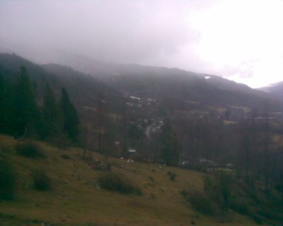
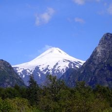
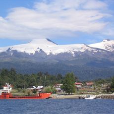
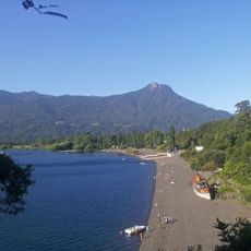
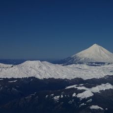
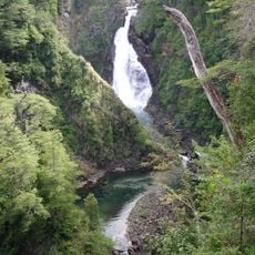
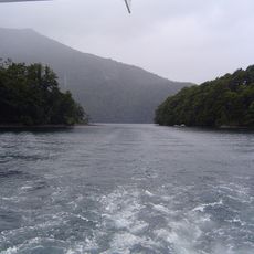
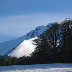
Liquiñe is a small village in the Los Ríos Region surrounded by natural thermal springs and mountain landscapes. The settlement sits at roughly 230 meters elevation with numerous warm water sources emerging from the ground throughout the area.
The village developed in a region shaped by the Liquiñe-Ofqui Fault, a geological feature that created numerous thermal sources. This geological activity has continuously influenced the landscape and enabled the formation of the warm springs visible today.
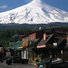
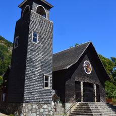
The settlement maintains strong local craftsmanship traditions, with artisans creating textiles, ceramics and other handmade goods sold throughout the area. Visitors walking through notice workshops and small shops where these traditions remain part of daily life.
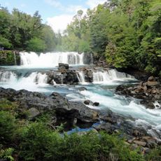
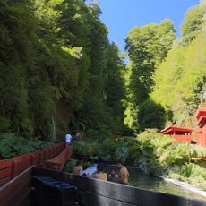
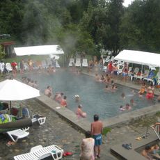
The thermal waters reach temperatures around 80 degrees Celsius and require cooling systems before visitors can safely bathe in them. Visitors should seek out designated bathing areas or facilities that properly regulate the water temperature.
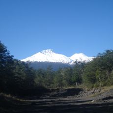
The area connects to the Argentine town of Junín de los Andes through a mountain pass that remains open only in January and February due to winter weather. This seasonal route makes the settlement briefly accessible for travelers coming from across the border during these limited months.
The community of curious travelers
AroundUs brings together thousands of curated places, local tips, and hidden gems, enriched daily by 60,000 contributors worldwide.