Conguillío National Park

Log in to your account

AroundUs is a community-driven map of interesting places, built by curious explorers like you. It grows with every review, story, and photo you share.
Connect to save your favorite spots, contribute locations, and create personalized routes.
By continuing, you accept our Terms and Conditions and our Privacy Policy
Add to collection
Map
Suggest a change
Share

Conguillío National Park, National park with ancient Araucaria forests in Araucanía Region, Chile

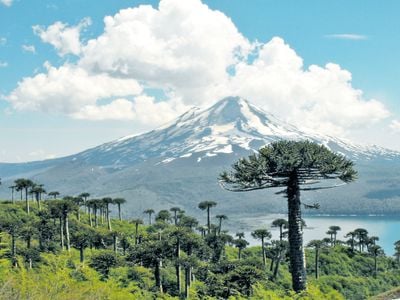
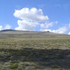
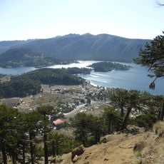
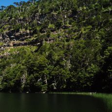
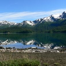
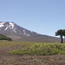
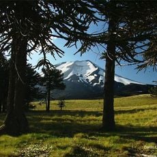
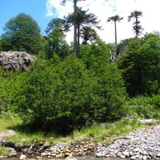
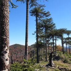
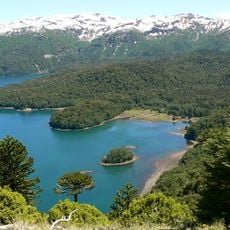
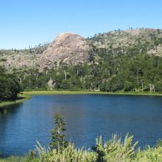
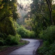
Conguillío National Park protects vast forests of Araucaria trees that can live over 1,000 years, their distinctive silhouettes standing out against the sky. In the valleys lies Conguillío Lake, surrounded by dark volcanic rock and bordered by beech forests.

The protected area was established in 1950 and initially covered a smaller section, gradually expanding to include neighboring volcanic landscapes. The Araucaria forests that define the area have served Pehuenche communities as a food source and important living space for centuries.

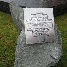
The name Conguillío originates from Mapudungún language, meaning water with pine kernels, reflecting the native Pehuenche people's connection to the land.

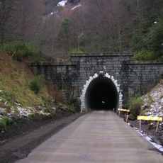
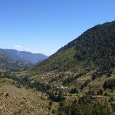
Several trails run through the area, from short walks along the lakeshore to longer routes that pass through lava tunnels and ancient forests. The best time to visit is between December and March, when trails are more snow-free and daylight hours are longer.

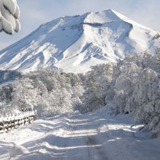
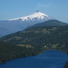
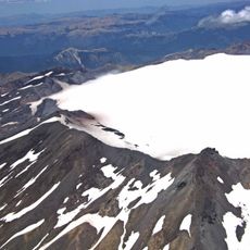
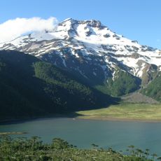
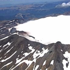
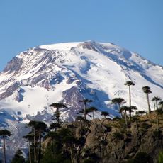
Lava flows from recent eruptions of Llaima Volcano buried forests and left black, jagged fields lying between green tree canopies. In some places, charred tree trunks emerge from the frozen streams like silent witnesses to the power of nature.

Location: Araucanía Region

Location: Cautín Province

Location: Malleco Province

Inception: 1950

Elevation above the sea: 1,941 m

Operator: conaf

Website: https://conaf.cl/parques/ficha-parque_nacional_conguillio-51.html

GPS coordinates: -38.66667,-71.65000

Latest update: December 5, 2025 22:25

Photos
Must-see attractions in Chile, land of contrasts

Chile stretches over 2,670 miles (4,300 kilometers) from north to south, crossing some of South America's most varied landscapes. The north features the Atacama Desert with its salt flats, geysers at El Tatio, and astronomical observatories such as Paranal. The coastal city of Valparaíso displays...

Reviews

Visited this place? Tap the stars to rate it and share your experience / photos with the community! Try now! You can cancel it anytime.

« Conguillío National Park - National park with ancient Araucaria forests in Araucanía Region, Chile » is provided by Around Us (aroundus.com). Images and texts are derived from Wikimedia project under a Creative Commons license. You are allowed to copy, distribute, and modify copies of this page, under the conditions set by the license, as long as this note is clearly visible.

Discover hidden gems everywhere you go!

From secret cafés to breathtaking viewpoints, skip the crowded tourist spots and find places that match your style. Our app makes it easy with voice search, smart filtering, route optimization, and insider tips from travelers worldwide. Download now for the complete mobile experience.

Around Us App Screenshot

A unique approach to discovering new places

Le Figaro

All the places worth exploring

France Info

A tailor-made excursion in just a few clicks

20 Minutes