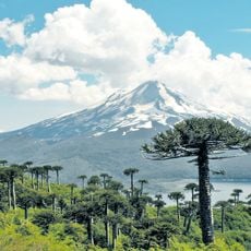
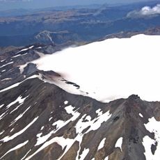
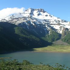
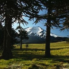
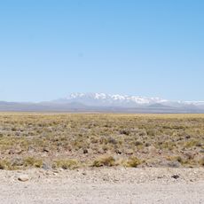
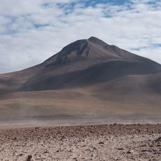
Batea Mahuida Volcano, Stratovolcano at Argentina-Chile border, South America
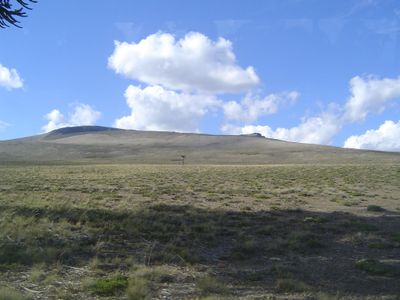
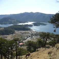
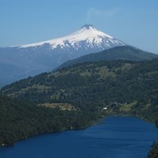
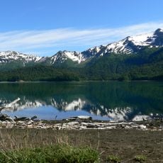
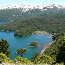
Batea Mahuida Volcano is a stratovolcano at the Argentina-Chile border with a central lagoon surrounded by steep volcanic slopes. The area straddles two countries and offers views of multiple mountain lakes from above.
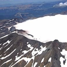
The volcano formed a natural border between Argentina and Chile, shaping the territorial division between Neuquén Province and Malleco Province. Its creation through volcanic activity established this geographical dividing line between the two nations.
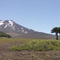
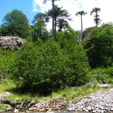
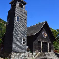
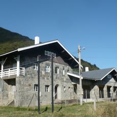
The mountain carries the Mapuche name Mahuida and holds deep spiritual meaning for the Puel community. Today, the local people welcome visitors while maintaining their ancestral bond with this place.
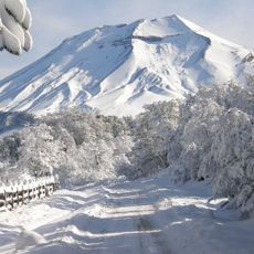
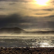
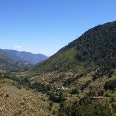
Access follows Provincial Route 13 toward Paso Icalma, with the final stretch requiring passage through border control. Visitors should prepare for changing weather conditions at altitude and bring sturdy footwear.
From the summit, visitors can see four different lakes: Moquehue and Aluminé on the Argentine side, plus Galletué and Icalma on the Chilean side. This rare viewpoint reveals the geological variety that volcanic origins created in this border region.
The community of curious travelers
AroundUs brings together thousands of curated places, local tips, and hidden gems, enriched daily by 60,000 contributors worldwide.