Sierra del Chachil, Mountain range in Neuquén Province, Argentina.
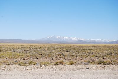
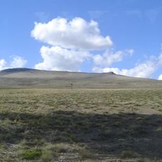
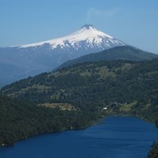
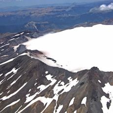
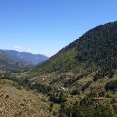
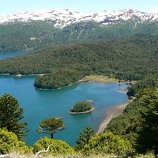
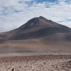
Sierra del Chachil is a mountain range in Neuquén Province that extends from Pino Hachado Pass to Cerro Las Lajas. The highest peak reaches 2,839 meters (9,331 feet), with notable summits such as Atravesada, Queli Mahuida, and Palau Mahuida surrounding lakes Alumine, Moquehue, and Ruca Choroy.
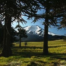
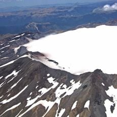
This mountain range was shaped over millions of years through volcanic activity and tectonic movements as part of the Andes system. These geological processes created the landscape that attracts visitors today.
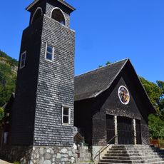
The name Chachil comes from the Günün a küna language and refers to a sacred stone used in ancient ceremonies. This linguistic heritage reflects the long-standing connection between this mountain range and the peoples who have inhabited the region.
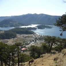
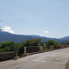
The range is accessible via National Route 40, with the towns of Zapala and Alumine serving as main starting points for mountain activities. From these locations, visitors can plan hikes and explore the multiple lakes in the area.
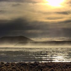
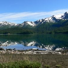
The range is surrounded by three major lakes that offer hikers varied terrain with forests and open slopes. These water bodies make the region an important refuge for diverse wildlife species and give it special ecological value.
The community of curious travelers
AroundUs brings together thousands of curated places, local tips, and hidden gems, enriched daily by 60,000 contributors worldwide.