Araucanía Region, Administrative region in southern Chile
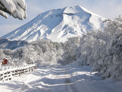
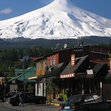
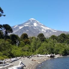
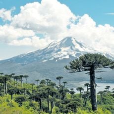
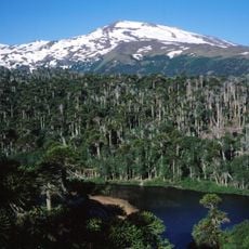
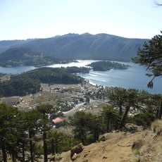
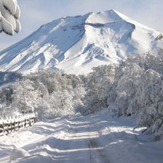
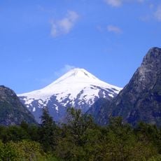
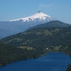
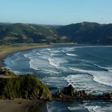
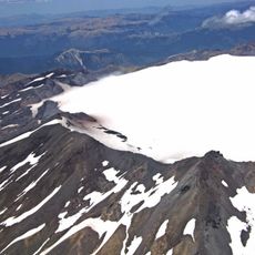
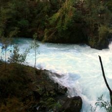
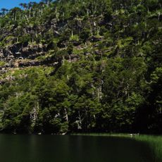
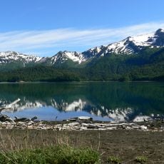
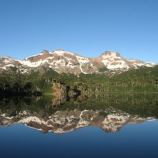
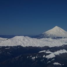
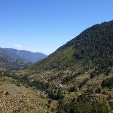
Araucanía is an administrative region in southern Chile covering the coastal plain, central valley, and Andean mountain range. The landscape alternates between extensive forests of native tree species, active volcanoes, and agricultural land along river courses.
The Chilean government established the present administrative unit in 1974 as part of a nationwide territorial reform. Previously, the territory formed part of the historical province of Cautín, which had existed since the late 19th century.
The region takes its name from the Araucanians, a historical term for the indigenous inhabitants now more commonly known as Mapuche. Visitors encounter bilingual road signs and local markets where traditionally woven textiles and silver jewelry are sold.
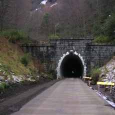
Temuco provides air connections, a bus terminal, and car rental services for travel within the region. Roads near the coast are mostly paved, while secondary routes in the mountains may require four-wheel drive depending on the season.
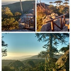
In the higher Andean slopes grow araucaria forests whose seeds have been used in local cooking for centuries. The harvest occurs in autumn when ripe cones fall to the ground and gatherers roast them fresh in the villages.
The community of curious travelers
AroundUs brings together thousands of curated places, local tips, and hidden gems, enriched daily by 60,000 contributors worldwide.