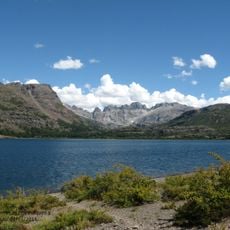
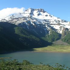
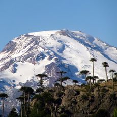
Antuco, Stratovolcano in Bio Bio Region, Chile
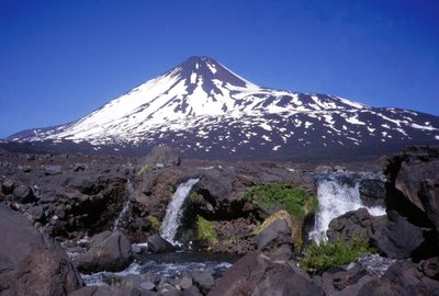
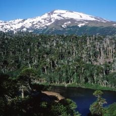
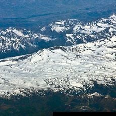
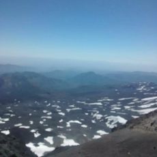
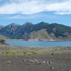
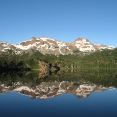
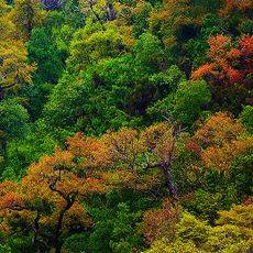
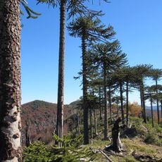
Antuco is a stratovolcano in the Biobío Region that rises to 2,979 meters, displaying a classic cone shape with steep flanks typical of composite volcanoes. Its slopes dominate the southern Andes landscape and feed several rivers that drain toward the Central Valley.
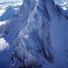
The volcano experienced at least 27 recorded eruptions throughout its history, marking it as one of the more active peaks in the region. A major eruption between 1843 and 1852 was its last significant activity, after which the volcano entered a quiet period that continues today.
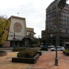
Indigenous Mapuche peoples regarded this volcano as a spiritual landmark and wove it into their oral traditions about how their homeland took shape. Local place names and stories still reflect this ancient connection to the mountain.
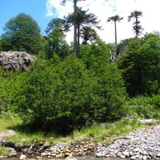
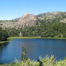
Several marked trails of varying difficulty wind through the area, though winter visits demand specialized climbing gear and experience. Weather in the mountains changes quickly, so visitors should prepare with layered clothing and sturdy footwear regardless of the season.
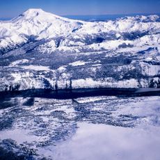
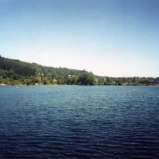
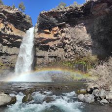
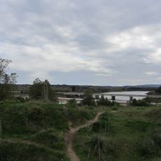
About 6,200 years ago, the volcano experienced a massive flank collapse that sent roughly 5 cubic kilometers of rock and debris down into the Laja Valley in a single catastrophic event. This enormous slide permanently reshaped the valley floor and created landscape features that geologists can still trace today.
The community of curious travelers
AroundUs brings together thousands of curated places, local tips, and hidden gems, enriched daily by 60,000 contributors worldwide.