Santa Juana, Administrative commune in Concepción Province, Chile
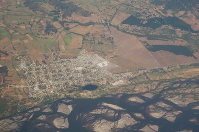
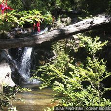
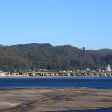
Santa Juana is an administrative commune in Concepción Province situated across rolling terrain with mixed agricultural and forested areas. The municipal center is located roughly 40 kilometers from the regional capital and serves a population of approximately 12,700 residents.
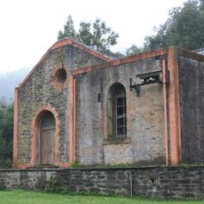
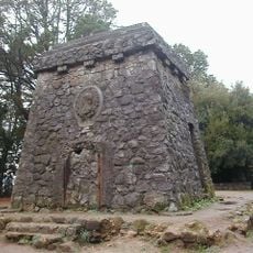
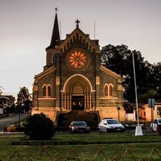
The settlement was established in 1626 as a Spanish fort intended to secure regional control, with the name honoring both the saint and the founding governor's interests. The military outpost gradually transformed into a civilian center shaped by local activities and community development.
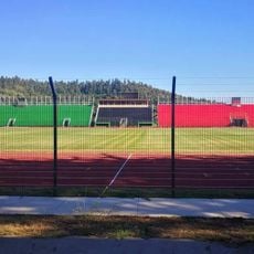
The town holds annual celebrations for local agriculture and fishing traditions, with the Shrimp Festival and Honey Festival drawing residents together to share regional products and knowledge.
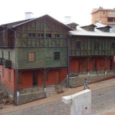
Visitors can find municipal services and administration in the central area, which is easily accessible on foot. The best time to explore is during the drier months when roads and rural paths are in better condition.
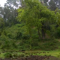
The landscape is shaped by stands of poplar trees that play a surprisingly important role in the local microclimate and define much of the region's appearance. These tree groups provide wind protection and enable various agricultural activities in the surrounding fields.
Location: Concepción Province
Elevation above the sea: 50 m
Website: http://santajuana.cl
GPS coordinates: -37.16667,-72.93333
Latest update: December 8, 2025 13:40
El Chiflón del Diablo
22.6 km
Parque Isidora Cousiño
22.4 km
Santuario de San Sebastián de Yumbel
34 km
Chivilingo Hydroelectric Plant
19.1 km
Bismarck tower in Concepción, Chile
37.7 km
Nonguén National Park
30.2 km
Puente Chacabuco
38.3 km
Iglesia de San Matías Apóstol, Lota
22.2 km
Estadio Federico Schwager
27.5 km
Pabellón 83
21.9 km
Fort Colcura
21.3 km
Teatro de los Mineros de Lota
21.4 km
Fuerte de Santa Juana de Guadalcazar
755 m
Galería de la Historia de Concepción
38.5 km
Gota de Leche
22.2 km
Torre Centenario, Lota
21.9 km
Puente ferroviario La Laja
21.9 km
Punta Lutrín lighthouse
22.6 km
Iglesia de Jesús Obrero, Schwager
26.7 km
Cabrias del pique Arenas Blancas
27.9 km
Centro Cultural Comunitario Monumento Histórico Pabellón 83
21.9 km
Museo Mina Chiflón del Diablo
22.6 km
Sector Puchoco-Schwager
26.7 km
Memorial por los Derechos Humanos de Coronel
24.2 km
Conjunto jesuita de Rere
18.6 km
Memorial en Homenaje a las Víctimas de Violaciones a los Derechos Humanos de Laja
23.7 km
Parque Hito a Galvarino
30.7 km
Cerro Colo Colo
36.1 kmVisited this place? Tap the stars to rate it and share your experience / photos with the community! Try now! You can cancel it anytime.
Discover hidden gems everywhere you go!
From secret cafés to breathtaking viewpoints, skip the crowded tourist spots and find places that match your style. Our app makes it easy with voice search, smart filtering, route optimization, and insider tips from travelers worldwide. Download now for the complete mobile experience.
A unique approach to discovering new places❞
— Le Figaro
All the places worth exploring❞
— France Info
A tailor-made excursion in just a few clicks❞
— 20 Minutes