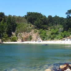
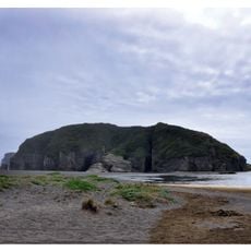
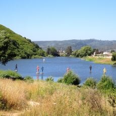
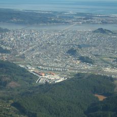
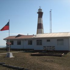
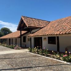
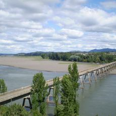
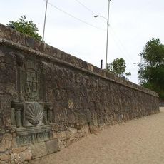
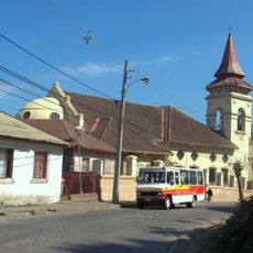
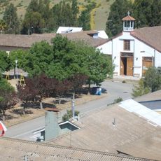
Cobquecura, Chilean town and commune
Location: Itata Province
Inception: 1575
Capital city: Cobquecura
Elevation above the sea: 124 m
Website: http://www.cobquecura.cl
Website: http://cobquecura.cl
GPS coordinates: -36.13333,-72.78333
Latest update: March 14, 2025 13:19
Estadio Huachipato-CAP Acero
75.1 km
Ramuntcho
77.6 km
Bellavista Oveja Tome
57.9 km
Estadio El Morro
71.7 km
Stone church
5.1 km
Laguna Lo Galindo
77.8 km
El Manzano
77.6 km
Carranza lighthouse
65.5 km
San Agustín de Puñual
43.2 km
Vega Monumental
79.8 km
Federico Albert National Reserve
49.7 km
Los Ruiles National Reserve
42 km
Puente Ñipas
56.3 km
Fuerte La Planchada
69.8 km
Laguna Lo Custodio
78.5 km
Plaza Carlos Condell
79.7 km
Ram Poderoso
70.9 km
Cerro Amarillo (Hualpén)
77.9 km
Los Queules National Reserve
25.4 km
Puente ferroviario de Ñuble
77.2 km
Puente Viejo sobre el Río Itata
39.5 km
Iglesia de Cristo Rey
57.7 km
Cruz de la Evangelización del V Centenario
78.7 km
Casco histórico de Cobquecura
1 km
Parque de la meditación
79.8 km
Iglesia de San Luis Gonzaga, Sauzal
74.9 km
Memorial en Homenaje a las Víctimas Caídas el 23 de Agosto de 1984
79.6 km
Parroquia San Luis Gonzaga de Sauzal
74.9 kmReviews
Visited this place? Tap the stars to rate it and share your experience / photos with the community! Try now! You can cancel it anytime.
Discover hidden gems everywhere you go!
From secret cafés to breathtaking viewpoints, skip the crowded tourist spots and find places that match your style. Our app makes it easy with voice search, smart filtering, route optimization, and insider tips from travelers worldwide. Download now for the complete mobile experience.
A unique approach to discovering new places❞
— Le Figaro
All the places worth exploring❞
— France Info
A tailor-made excursion in just a few clicks❞
— 20 Minutes