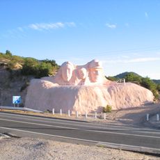
Mostazal, Administrative commune in Cachapoal Province, Chile.
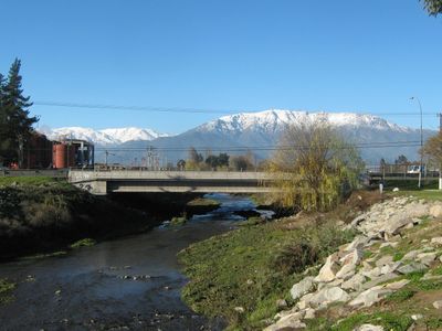
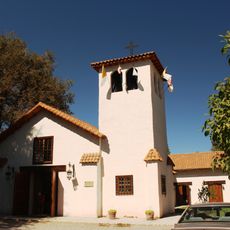
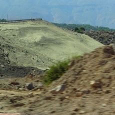
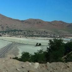
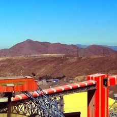
Mostazal is an administrative commune in Cachapoal Province within the O'Higgins Region, comprising a varied landscape with different elevations. The territory includes San Francisco de Mostazal as its main population center, along with surrounding rural settlements and farming areas.
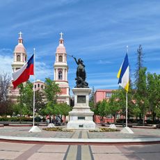
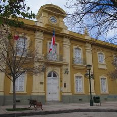
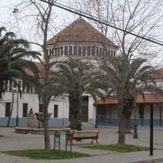
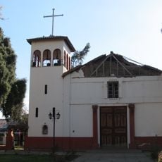
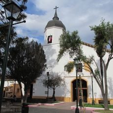
The area evolved from traditional settlements into an organized administrative territory, with San Francisco de Mostazal becoming the focal point of this administrative structure. This development followed the gradual establishment of governance systems in the region as Chile's modern history unfolded.
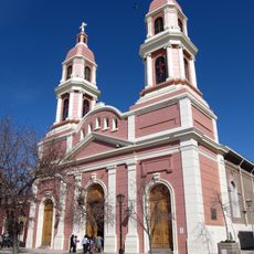
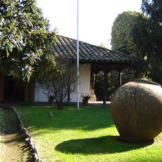
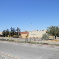
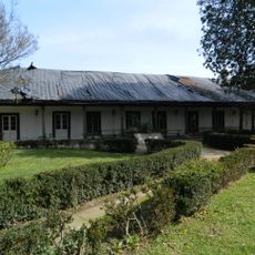
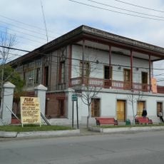
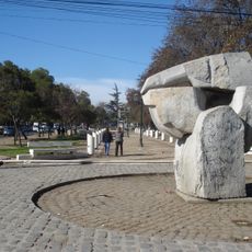
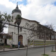
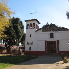
San Francisco de Mostazal serves as the administrative center where you can see how a typical Chilean small town functions and how people organize community life. The surrounding rural zones maintain connections to agricultural traditions that shape daily rhythms and local identity.
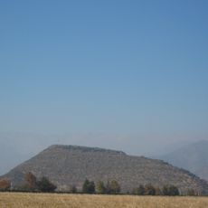
The commune features varying elevations across its territory, which means different areas may experience different climate conditions and terrain characteristics. Visitors planning to explore rural sections should be prepared for changing conditions based on season and weather patterns.
The varying elevations create distinct microclimates that support different types of crops and land use patterns across the territory. This natural diversity makes each section of the commune interesting for different purposes and agricultural production.
Location: Cachapoal Province
Capital city: San Francisco de Mostazal
Elevation above the sea: 1,347 m
Website: http://mostazal.cl
GPS coordinates: -33.98333,-70.70000
Latest update: December 10, 2025 15:53
Estadio El Teniente
21.9 km
Plaza de los Héroes de Rancagua
21.2 km
Pukara de La Compañia
9.4 km
Sagrario Cathedral
21.2 km
Museo Regional de Rancagua
21.5 km
Paine Memorial
19.8 km
Shopping Center Punta del Sol
17.3 km
La Compañía
11 km
Teatro Regional Lucho Gatica
21.7 km
Iglesia de San Francisco de Asís
21.6 km
Casa patronal del fundo El Puente
21.7 km
Monumento a la Familia Minera
24.2 km
Casa Hodgkinson
9.7 km
Estadio Municipal Patricio Mekis
19.7 km
Gobernación Provincial de Cachapoal
21.2 km
Embalse Barahona I
21.2 km
Tranque Barahona II
20.8 km
Plazuela Marcelino Champagnat
21.5 km
Iglesia de Nuestra Señora de la Merced, Codegua
6.4 km
Iglesia del Tránsito de la Santísima Virgen María
23.5 km
Cerro Alto Los Lunes
19.6 km
Paseo de los Derechos Humanos, Escultura El Abrazo Solidario y Piedra Verde
20.5 km
Iglesia de la Merced
21 km
Museo Regional de Rancagua
21.5 km
Casa del Pilar de Piedra
21.5 km
Espacio Cultural Iglesia La Merced
21 km
Memorial Cementerio La Rana de Huelquén
18.5 km
Iglesia de Nuestra Señora de la Merced de Codegua
6.4 kmVisited this place? Tap the stars to rate it and share your experience / photos with the community! Try now! You can cancel it anytime.
Discover hidden gems everywhere you go!
From secret cafés to breathtaking viewpoints, skip the crowded tourist spots and find places that match your style. Our app makes it easy with voice search, smart filtering, route optimization, and insider tips from travelers worldwide. Download now for the complete mobile experience.
A unique approach to discovering new places❞
— Le Figaro
All the places worth exploring❞
— France Info
A tailor-made excursion in just a few clicks❞
— 20 Minutes