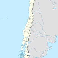
Petorca, Administrative commune in Petorca Province, Chile
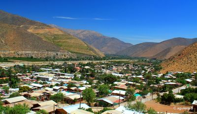
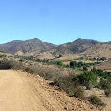
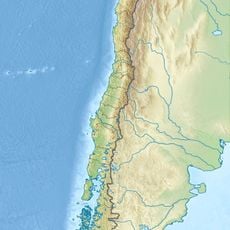
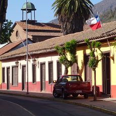
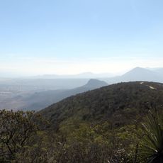
Petorca is an administrative commune in Petorca Province within the Valparaíso Region, situated at about 495 meters above sea level. The territory spans a large area characterized by varied terrain with valleys and rolling hills.
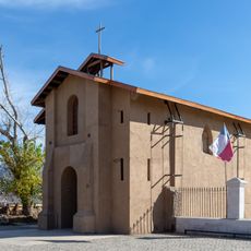
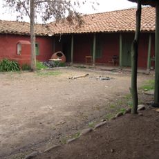
The area developed as an administrative center during Chile's territorial organization and became the core of the province bearing its name. Its importance stemmed from the link between governance and local farming, which shaped settlement patterns.
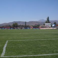
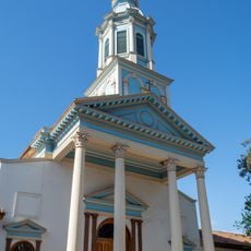
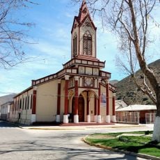
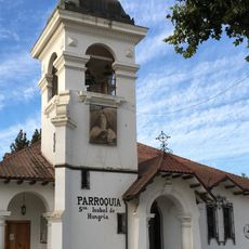
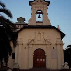
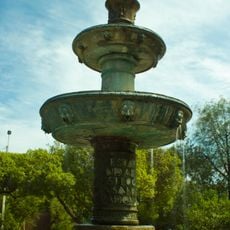
The town is deeply rooted in agricultural traditions that shape daily routines and community celebrations. Visitors notice this rural character in the farmers' markets and seasonal festivals that bring residents together throughout the year.
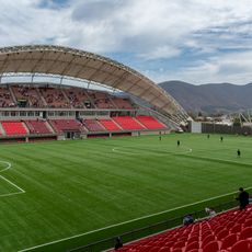
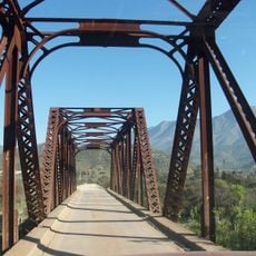
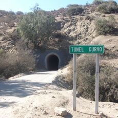
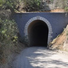
The town is accessible by main provincial roads and well connected through the regional road network. Visitors should be prepared for a dry climate and plan accordingly when exploring the surrounding areas.
The region faces significant water scarcity, affecting both farming operations and the water supply available to residents. This challenge is central to understanding local economics and how daily life functions here.
Location: Petorca Province
Elevation above the sea: 495 m
Website: http://municipalidadpetorca.cl
GPS coordinates: -32.25000,-70.93333
Latest update: December 7, 2025 10:07
Estadio Municipal Nicolás Chahuán
64.5 km
Hacienda Quilpué
57.4 km
Los cafes del Diego
40.1 km
Estadio Municipal de San Felipe
58.5 km
Guangualí
43.5 km
Iglesia de San Antonio de Padua
60 km
Isla Cachagua
61.9 km
Iglesia del Buen Pastor, San Felipe
59.8 km
Iglesia de la Merced, Petorca
291 m
La Campana-Peñuelas
60 km
Maltería La Calera
63.7 km
Iglesia de Santa Isabel de Hungría, El Melón
55.4 km
Museo de La Ligua
35.3 km
Iglesia de Nuestra Señora de las Mercedes (Papudo)
56.3 km
Aeródromo El Algarrobo
25.3 km
Puente metálico Tilama
28.7 km
Capilla de Lo Vicuña
42.9 km
Casa Hildesheim Baviera
60 km
Túnel Curvo
44.1 km
Putaendo
46.7 km
Túnel Recto
43.3 km
Bioparque Puquén
55.3 km
Silla del Gobernador
53.2 km
Morro del Maqui
58.5 km
Cerro La Chupalla
61.4 km
Balneario de Zapallar
59.9 km
Pila de bronce de la Plaza de Zapallar
59.8 km
Casa donde nació José Antonio Salinas
46.5 kmVisited this place? Tap the stars to rate it and share your experience / photos with the community! Try now! You can cancel it anytime.
Discover hidden gems everywhere you go!
From secret cafés to breathtaking viewpoints, skip the crowded tourist spots and find places that match your style. Our app makes it easy with voice search, smart filtering, route optimization, and insider tips from travelers worldwide. Download now for the complete mobile experience.
A unique approach to discovering new places❞
— Le Figaro
All the places worth exploring❞
— France Info
A tailor-made excursion in just a few clicks❞
— 20 Minutes