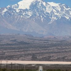
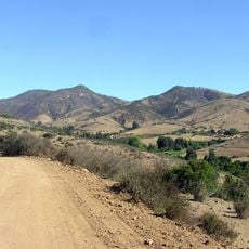
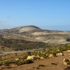
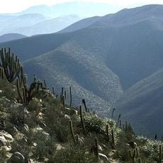
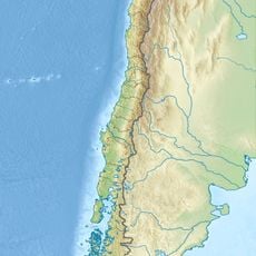
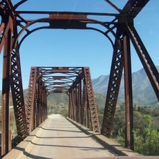
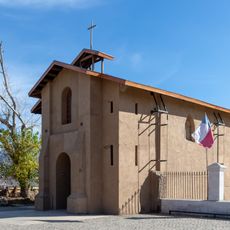
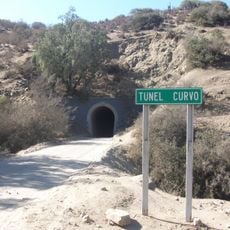
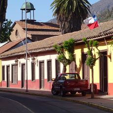
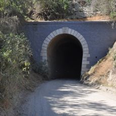
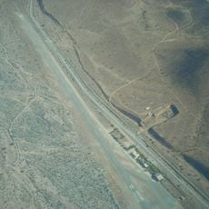
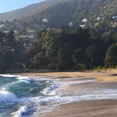
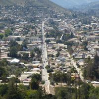
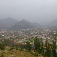
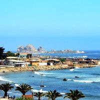
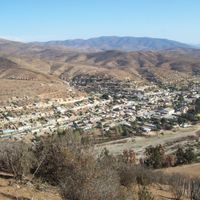
Choapa Province, province of Chile
Location: Coquimbo Region
Capital city: Illapel
Elevation above the sea: 1,394 m
Website: http://gobernacionchoapa.gov.cl
GPS coordinates: -31.66667,-71.00000
Latest update: March 7, 2025 21:41
Cerro Mercedario
90.8 km
Los cafes del Diego
32.3 km
Guangualí
62.8 km
La Cebada
98.7 km
Las Chinchillas National Reserve
19.3 km
Laguna Conchalí
52.5 km
Amolanas Viaduct
77.8 km
Isla Cachagua
111.1 km
El Bato Dam
17.7 km
Estadio Municipal de Punitaqui
95.7 km
Iglesia de la Merced, Petorca
65.5 km
Museo de La Ligua
89.1 km
Iglesia de Nuestra Señora de las Mercedes (Papudo)
102.6 km
Aeródromo El Algarrobo
89.6 km
Puente metálico Tilama
48.3 km
Capilla de Lo Vicuña
106.2 km
Casa Hildesheim Baviera
107.8 km
Túnel Curvo
29.1 km
Putaendo
110.3 km
Túnel Recto
30.6 km
Aeródromo Aucó
14.6 km
Isla Huevos Lighthouse
56.5 km
Punta Tablas Lighthouse
56.7 km
Bioparque Puquén
79.9 km
Silla del Gobernador
68.7 km
Balneario de Zapallar
107.8 km
Pila de bronce de la Plaza de Zapallar
107.8 km
Casa donde nació José Antonio Salinas
110.1 kmReviews
Visited this place? Tap the stars to rate it and share your experience / photos with the community! Try now! You can cancel it anytime.
Discover hidden gems everywhere you go!
From secret cafés to breathtaking viewpoints, skip the crowded tourist spots and find places that match your style. Our app makes it easy with voice search, smart filtering, route optimization, and insider tips from travelers worldwide. Download now for the complete mobile experience.
A unique approach to discovering new places❞
— Le Figaro
All the places worth exploring❞
— France Info
A tailor-made excursion in just a few clicks❞
— 20 Minutes