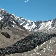
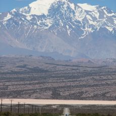
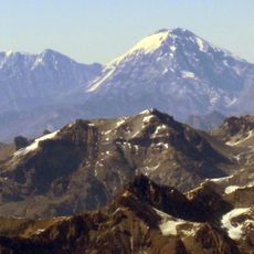
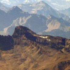
Paso de Los Patos, Mountain pass between San Juan Province, Argentina and Valparaíso Region, Chile.
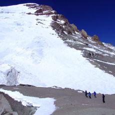
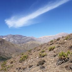
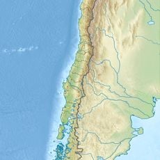
Paso de Los Patos is a mountain pass through the Andes that connects San Juan Province in Argentina with Valparaíso Region in Chile at approximately 3,510 meters elevation. The pass serves as a natural corridor between the two countries, positioned between higher alpine crossings.
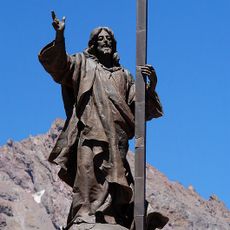
The pass gained prominence in 1817 when General José de San Martín led the Army of the Andes through it during his campaign to liberate Chile from Spanish rule. This crossing became a pivotal moment in South American independence movements.
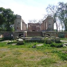
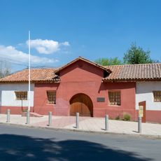
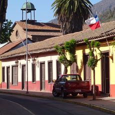
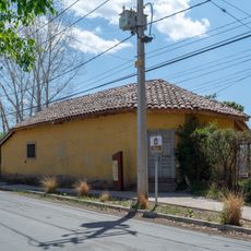
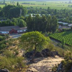
The passage represents a significant link between Argentina and Chile, recognized as a National Historic Site in both countries since 2015.
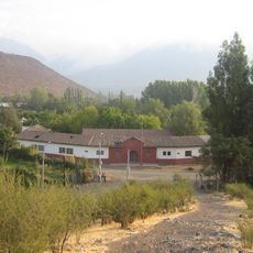
Access requires traversing high-altitude alpine terrain that demands physical stamina and mountain experience, particularly during adverse weather. Conditions can change rapidly in this region, so preparation for strong winds and cold temperatures is essential.
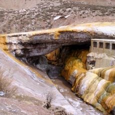
The surrounding area contains fossils from the Triassic period, including some of the oldest Ammonites and Trilobites discovered in the Andes. These prehistoric remains reveal that this high-altitude region was once covered by ancient seas.
Location: Calingasta Department
Elevation above the sea: 3,510 m
GPS coordinates: -32.36289,-70.21950
Latest update: December 7, 2025 20:46
Puente del Inca
59.2 km
Christ the Redeemer of the Andes
53.3 km
Aconcagua Provincial Park
59.8 km
Santuario de Santa Teresa de Los Andes
73.1 km
Cerro Mercedario
43.9 km
Hacienda Quilpué
62.5 km
Polish Glacier
37.8 km
Estadio Municipal de San Felipe
64.2 km
Iglesia de las Carmelitas Descalzas, Los Andes
63.5 km
Iglesia de San Antonio de Padua (El Almendral)
61.8 km
Estadio Regional de Los Andes
64.1 km
Río Blanco National Reserve
66 km
Iglesia del Buen Pastor, San Felipe
64.2 km
Iglesia de la Merced, Petorca
68.1 km
Capilla del Retiro
73.6 km
Cementerio de los andinistas
59.8 km
Aeródromo El Algarrobo
73.7 km
Edificio de la Gobernación de Los Andes
63.3 km
Capilla de Lo Vicuña
53.6 km
Museo y Centro Cultural Presidente Pedro Aguirre Cerda
67.5 km
Putaendo
55.3 km
Cerro Ameghino
37.1 km
Casa de Domingo Faustino Sarmiento
67.5 km
Ex Railway Station Andes
62.7 km
Cerro Parva del Inca
44.6 km
Casa de Domingo Faustino Sarmiento
67.8 km
Sección Puente del Inca -- Punto Inicial
59.2 km
Casa donde nació el Presidente Pedro Aguirre Cerda
67.7 kmVisited this place? Tap the stars to rate it and share your experience / photos with the community! Try now! You can cancel it anytime.
Discover hidden gems everywhere you go!
From secret cafés to breathtaking viewpoints, skip the crowded tourist spots and find places that match your style. Our app makes it easy with voice search, smart filtering, route optimization, and insider tips from travelers worldwide. Download now for the complete mobile experience.
A unique approach to discovering new places❞
— Le Figaro
All the places worth exploring❞
— France Info
A tailor-made excursion in just a few clicks❞
— 20 Minutes