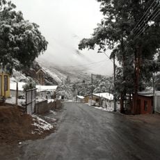
Cerro Las Tórtolas, Mountain summit in Elqui Valley, Chile
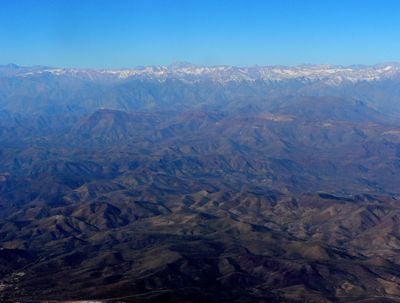
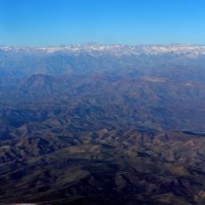
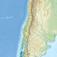
Cerro Las Tórtolas is a mountain summit in the Elqui Valley near the Argentine border, rising to approximately 6,160 meters above sea level. It stands as the second highest peak in this mountain region and features steep slopes with rocky terrain throughout.
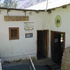
The first documented modern ascent occurred in 1952 when climbers from Chile and Germany reached the summit. The mountain had served as an important location for indigenous populations long before this recorded expedition.
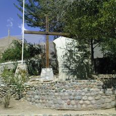
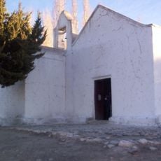
The summit held spiritual significance for indigenous communities, who left silver figurines as ceremonial offerings at a stone structure. These ritual objects reveal that the mountain was an important sacred site for pre-Columbian peoples in the region.
Climbers should bring adequate water supplies as the mountain lacks natural water sources along the route. The ascent takes several days, making proper physical preparation and mountaineering experience essential for attempting this climb.
A section known as 'acarreo de la muerte' presents specific climbing challenges during the final approach to the summit. This difficult terrain requires careful navigation and heightened attention from those making the final push upward.
The community of curious travelers
AroundUs brings together thousands of curated places, local tips, and hidden gems, enriched daily by 60,000 contributors worldwide.