
San Antonio, district of Cañete, Lima, Peru
Location: Cañete Province
Elevation above the sea: 36 m
Shares border with: Chilca District, Santa Cruz de Flores District, Mala District
Website: http://munisanantonio.gob.pe
GPS coordinates: -12.64369,-76.65159
Latest update: March 27, 2025 18:00
Pachacamac
50.7 km
Pantanos de Villa Wildlife Refuge
60.3 km
Lanzón
66.4 km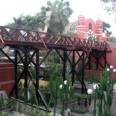
Puente de los Suspiros
68.3 km
Morro Solar
65.6 km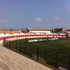
Estadio Iván Elías Moreno
56.3 km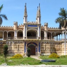
Palacio Unanue
58.3 km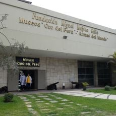
Gold Museum of Peru and Weapons of the World
68.7 km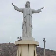
Cristo del Pacífico
66.4 km
Museo Pedro de Osma
67.8 km
Inka Wasi
66.8 km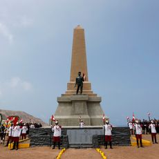
Monument to the Unknown Soldier, Lima
66.8 km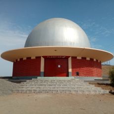
Morro Solar Planetarium
67.2 km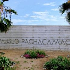
Pachacamac site Museum
51.4 km
MATE - Museo Mario Testino
67.8 km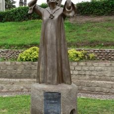
Monumento a Chabuca Granda, Lima
68.3 km
La Herradura
66.7 km
National Museum of Archaeology, Peru
51.7 km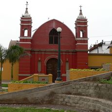
Ermita de Barranco
68.3 km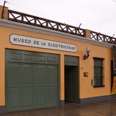
Museo de la Electricidad
68.1 km
Estadio Municipal de La Molina
67.4 km
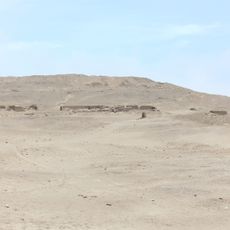
Huaycán de Cieneguilla
63.7 km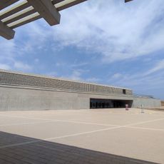
National Museum of Peru
51.7 km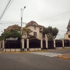
Residence of the Ambassador of Spain in Lima
68.8 km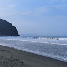
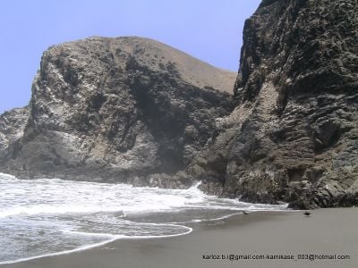
Playa de Puerto Bonito
7.4 km
Bajada de Los Baños
68.2 km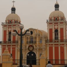
Iglesia de Nuestra Señora de la Asunción de Chilca
16.8 km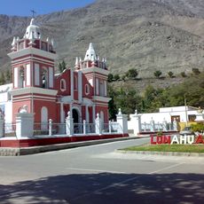
Iglesia de Lunahuana
66 kmVisited this place? Tap the stars to rate it and share your experience / photos with the community! Try now! You can cancel it anytime.
Discover hidden gems everywhere you go!
From secret cafés to breathtaking viewpoints, skip the crowded tourist spots and find places that match your style. Our app makes it easy with voice search, smart filtering, route optimization, and insider tips from travelers worldwide. Download now for the complete mobile experience.

A unique approach to discovering new places❞
— Le Figaro
All the places worth exploring❞
— France Info
A tailor-made excursion in just a few clicks❞
— 20 Minutes