Puente Piedra

Log in to your account

AroundUs is a community-driven map of interesting places, built by curious explorers like you. It grows with every review, story, and photo you share.
Connect to save your favorite spots, contribute locations, and create personalized routes.
Continue with Google
Continue with Apple
Continue with X
Continue with Facebook
Continue with email
By continuing, you accept our Terms and Conditions and our Privacy Policy
Create an account
Add to collection
Map
Suggest a change
Share

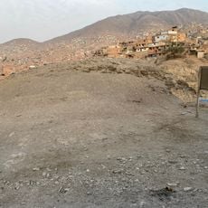
Puente Piedra, Administrative district in northern Lima, Peru

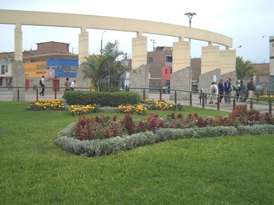
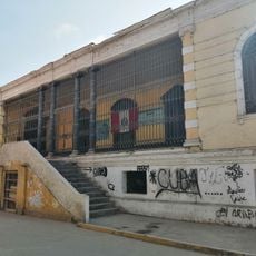
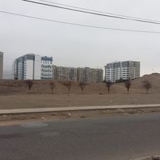
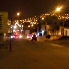
Puente Piedra is a district in northern Lima composed of residential neighborhoods, local markets, and public spaces where everyday life unfolds. The area features markets dedicated to fresh produce and essential goods, along with recreational areas used by residents throughout the day.

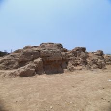
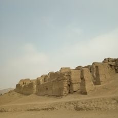
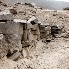
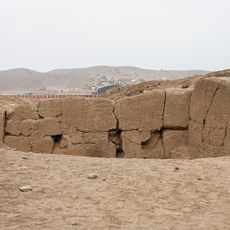
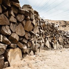
The name comes from a stone that served as a crossing point during Inca times before Spanish conquest altered the area. A railway station built in the 1800s attracted the first residents and set the foundation for the district to grow over time.

The neighborhood retains a strong community identity shaped by its markets and local gathering spaces that bring residents together daily. This sense of belonging is visible in how people use public areas and maintain connections across generations.

Two main markets, Huamantanga and Tres Regiones, operate as central shopping hubs where you can find fresh produce and everyday items. These markets are well-integrated into local life and easy to navigate as a visitor exploring the neighborhood.

The community was formally established in 1921 when residents organized to protect their land rights against outside interests. This early assertion of autonomy continues to shape the character and spirit of those living here today.

Location: Lima province

Shares border with: Ancón District, Carabayllo District, Comas District, Los Olivos, San Martín de Porres District, Ventanilla, Mi Perú

Website: http://munipuentepiedra.gob.pe

GPS coordinates: -11.87500,-77.06528

Latest update: December 20, 2025 02:35

Photos
Reviews

Visited this place? Tap the stars to rate it and share your experience / photos with the community! Try now! You can cancel it anytime.

« Puente Piedra - Administrative district in northern Lima, Peru » is provided by Around Us (aroundus.com). Images and texts are derived from Wikimedia project under a Creative Commons license. You are allowed to copy, distribute, and modify copies of this page, under the conditions set by the license, as long as this note is clearly visible.

Discover hidden gems everywhere you go!

From secret cafés to breathtaking viewpoints, skip the crowded tourist spots and find places that match your style. Our app makes it easy with voice search, smart filtering, route optimization, and insider tips from travelers worldwide. Download now for the complete mobile experience.

Around Us App Screenshot

A unique approach to discovering new places

Le Figaro

All the places worth exploring

France Info

A tailor-made excursion in just a few clicks

20 Minutes