·

Enable Location

We need your location to show you interesting places around you

Discover nearby places

Find interesting locations and hidden gems around you

Precise directions

Get accurate directions and distances to places

Your location is never shared with other users. It's only used when you tap the location button.

San Martín de Porres District

Log in to your account

Start exploring — it's free

Trusted by 62,668 travelers worldwide

Continue with Google
Continue with Apple
or

We will send you a code to connect

By continuing, you accept our Terms and Conditions and our Privacy Policy

Check your inbox

We've sent a pincode in your inbox. Please enter the code below.

San Martín de Porres District

San Martín de Porres District, Administrative district in Lima, Peru

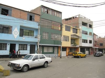
San Martín de Porres is an administrative district in the Lima province, located in the northern part of the Peruvian capital. The area sits between two rivers and includes both residential and commercial neighborhoods connected by several major roads.

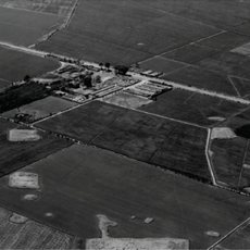
Several large agricultural estates shaped the region before it became officially recognized as an independent administrative unit in 1950. The transition from rural to urban space took place during the second half of the 20th century.

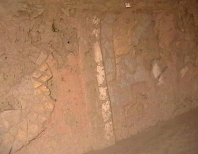
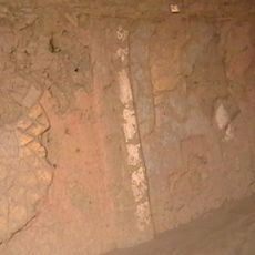
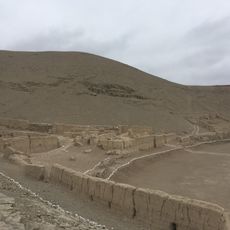
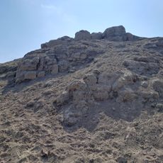
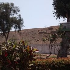
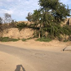
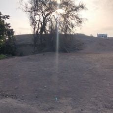
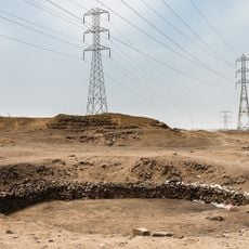
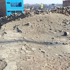
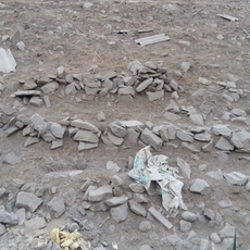
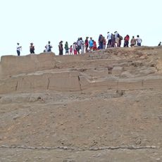
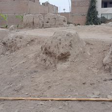
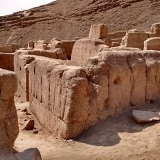
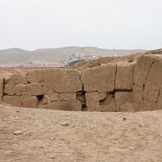
The district houses multiple pre-Hispanic structures known as Huacas, reflecting the ancient civilizations that inhabited this region before Spanish colonization.

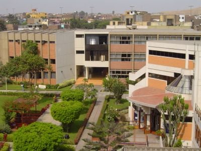
Several large shopping centers offer stores, restaurants, and services for visitors that are easily accessible during the day. Main transportation routes run through the area and connect it with other parts of the capital.

Archaeological sites from pre-conquest times stand between modern residential areas and streets that now shape daily life for local residents. These ancient structures remind visitors that this area was inhabited long before the current city took form.

The community of curious travelers

AroundUs brings together thousands of curated places, local tips, and hidden gems, enriched daily by 60,000 contributors worldwide.

Start exploring
Location
Elevation above the sea
123 m
Shares border with
Ventanilla, Carmen de la Legua Reynoso, Callao, Puente Piedra, Lima District, Rímac, Independencia, Los Olivos, Comas District
GPS coordinates
-11.98056,-77.09722
Latest update
December 14, 2025 17:24
« San Martín de Porres District - Administrative district in Lima, Peru » is provided by Around Us (aroundus.com). Images and texts are derived from Wikimedia project under a Creative Commons license. You are allowed to copy, distribute, and modify copies of this page, under the conditions set by the license, as long as this note is clearly visible.

Discover hidden gems everywhere you go!

From secret cafés to breathtaking viewpoints, skip the crowded tourist spots and find places that match your style. Our app makes it easy with voice search, smart filtering, route optimization, and insider tips from travelers worldwide. Download now for the complete mobile experience.

Around Us App Screenshot

A unique approach to discovering new places

Le Figaro

All the places worth exploring

France Info

A tailor-made excursion in just a few clicks

20 Minutes

Around Us
Travel Guide & Maps
Download

Send to your phone

QR Code
1

Open the camera app on your mobile.

2

Point at the QR code with your camera. A notification will appear.

3

Tap the notification to open the link.