Pachacamac

Log in to your account

AroundUs is a community-driven map of interesting places, built by curious explorers like you. It grows with every review, story, and photo you share.
Connect to save your favorite spots, contribute locations, and create personalized routes.
Continue with Google
Continue with Apple
Continue with X
Continue with Facebook
Continue with email
By continuing, you accept our Terms and Conditions and our Privacy Policy
Create an account
Add to collection
Map
Suggest a change
Share

Pachacamac, Administrative district in Lima Province, Peru

Pachacamac is an administrative district in Lima Province, extending across agricultural lands and residential areas and surrounded by several other districts of the city. It consists of different densely populated villages and sparse areas, which together form a mixed urban-rural landscape.

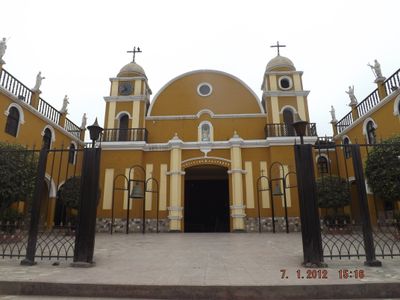
The original sanctuary was founded during the colonial period and later recognized as an independent district of the republic. This evolution from a religious center to a modern administrative area shapes its present-day identity.

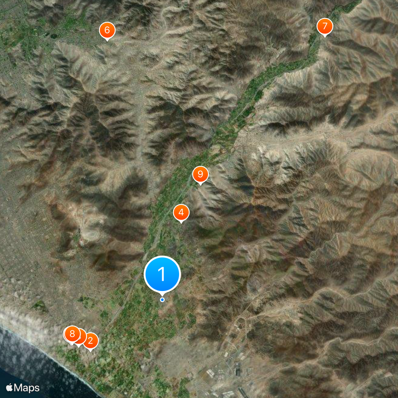
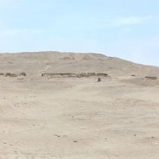
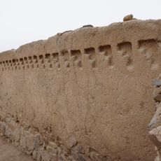
The district preserves several archaeological structures from pre-Columbian times, showing how people held religious ceremonies and built their temples. These ancient ruins are scattered across the land and still shape how the place looks today.

To explore the area, you should allow time for different parts, since the region is spread across several residential centers. Many of the ancient ruins can be reached from the main roads, but sturdy footwear and water are recommended.

The area contains extensive archaeological sites spread over hundreds of hectares, revealing remains from different ancient cultures. This concentration of ruins makes it a significant place for understanding the pre-Hispanic history of the region.

Location: Lima province

Elevation above the sea: 73 m

Shares border with: Cieneguilla District, Antioquia District, Santo Domingo de los Olleros District, Lurín District, Villa María del Triunfo, La Molina

Website: http://munipachacamac.gob.pe

GPS coordinates: -12.23000,-76.85917

Latest update: December 17, 2025 11:15

Photos
Reviews

Visited this place? Tap the stars to rate it and share your experience / photos with the community! Try now! You can cancel it anytime.

« Pachacamac - Administrative district in Lima Province, Peru » is provided by Around Us (aroundus.com). Images and texts are derived from Wikimedia project under a Creative Commons license. You are allowed to copy, distribute, and modify copies of this page, under the conditions set by the license, as long as this note is clearly visible.

Discover hidden gems everywhere you go!

From secret cafés to breathtaking viewpoints, skip the crowded tourist spots and find places that match your style. Our app makes it easy with voice search, smart filtering, route optimization, and insider tips from travelers worldwide. Download now for the complete mobile experience.

Around Us App Screenshot

A unique approach to discovering new places

Le Figaro

All the places worth exploring

France Info

A tailor-made excursion in just a few clicks

20 Minutes