Enable Location

We need your location to show you interesting places around you

Discover nearby places

Find interesting locations and hidden gems around you

Precise directions

Get accurate directions and distances to places

Your location is never shared with other users. It's only used when you tap the location button.

Ate District

Log in to your account

Join the adventure

Create your free account and start exploring (like 60k+ others)

We will send you a code to connect

or
Continue with Google
Continue with Apple
By continuing, you accept our Terms and Conditions and our Privacy Policy

Check your inbox

We've sent a pincode in your inbox. Please enter the code below.

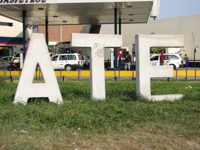
Ate District, Administrative district in Lima Province, Peru

Description

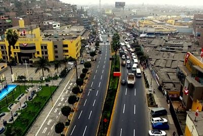
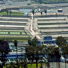
Ate District is an administrative division in Lima Province that stretches along the Rimac River and combines residential neighborhoods with commercial areas. The terrain shows this mix of different urban zones, and the river forms a natural boundary that runs through the landscape.

History

The district was founded in 1821 and was among the first created following Peru's declaration of independence. Its establishment helped reshape Lima during this crucial period in the nation's history.

Culture

The district encompasses various neighborhoods that reflect Lima's diverse residential culture and daily rhythms. Visitors notice the mix of established communities and commercial zones that shape how people live and work here.

Practical

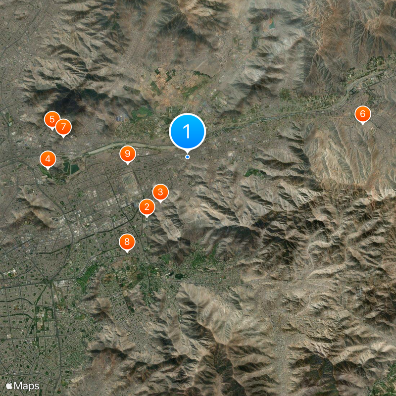
The district is accessible from central Lima through multiple transportation routes, making it easy for visitors to get there. Temperatures remain mild throughout the year, so it is visitable in any season.

Did you know?

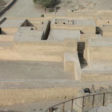
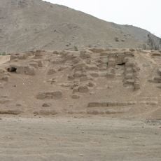
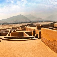
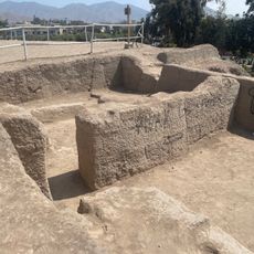
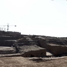
The Puruchuco site within this district preserves structures from the second century, showing how people lived in this region before Columbus arrived. The archaeological remains offer glimpses into the building techniques and ways of life from that era.

Location
Capital city
Vitarte
Elevation above the sea
355 m
Shares border with
El Agustino District, Lurigancho-Chosica, Chaclacayo District, Cieneguilla District, La Molina, Santiago de Surco, San Borja, San Luis, Santa Anita
GPS coordinates
-12.02778,-76.91667
Latest update
December 14, 2025 18:02

AroundUs brings together thousands of curated places, local tips, and hidden gems, enriched daily by 60,000 contributors worldwide. Discover all places nearby (Lima province).

« Ate District - Administrative district in Lima Province, Peru » is provided by Around Us (aroundus.com). Images and texts are derived from Wikimedia project under a Creative Commons license. You are allowed to copy, distribute, and modify copies of this page, under the conditions set by the license, as long as this note is clearly visible.

Discover hidden gems everywhere you go!

From secret cafés to breathtaking viewpoints, skip the crowded tourist spots and find places that match your style. Our app makes it easy with voice search, smart filtering, route optimization, and insider tips from travelers worldwide. Download now for the complete mobile experience.

Around Us App Screenshot

A unique approach to discovering new places

Le Figaro

All the places worth exploring

France Info

A tailor-made excursion in just a few clicks

20 Minutes

Around Us
Travel Guide & Maps
Download

Send to your phone

QR Code
1

Open the camera app on your mobile.

2

Point at the QR code with your camera. A notification will appear.

3

Tap the notification to open the link.