Enable Location

We need your location to show you interesting places around you

Discover nearby places

Find interesting locations and hidden gems around you

Precise directions

Get accurate directions and distances to places

Your location is never shared with other users. It's only used when you tap the location button.

Carabayllo District

Log in to your account

Start exploring — it's free

Trusted by 61,460 travelers worldwide

Continue with Google
Continue with Apple
or

We will send you a code to connect

By continuing, you accept our Terms and Conditions and our Privacy Policy

Check your inbox

We've sent a pincode in your inbox. Please enter the code below.

Carabayllo District

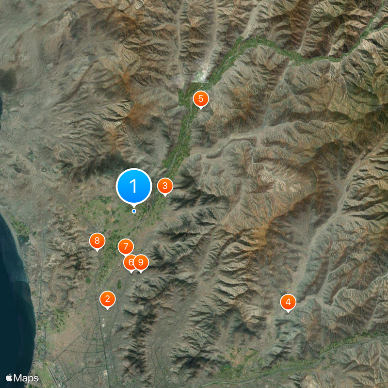
Carabayllo District, Administrative district in Northern Lima, Peru

Description

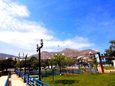
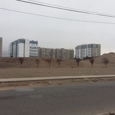
Carabayllo is an administrative district in northern Lima Province that covers a large area with varied elevations across its neighborhoods. The territory includes residential zones, commercial streets, and agricultural land that form the everyday landscape where residents live and work.

History

The district was founded in 1821 by independence leader José de San Martín and originally extended much further north than it does today. Over time, sections of the original territory were separated to establish new districts, gradually shaping the modern boundaries.

Culture

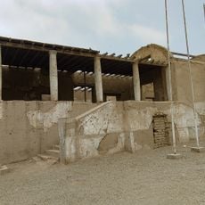
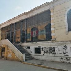
The San Pedro Church built in 1575 remains the oldest religious building in northern Lima, reflecting how the Spanish established their faith in this territory. Locals continue to gather here for celebrations and religious events, keeping this colonial connection alive in daily community life.

Practical

Tupac Amaru Avenue serves as the main route linking this district with central Lima and other neighborhoods, with regular public transportation available. Traveling early in the day helps avoid heavy traffic, especially during morning and evening rush hours when congestion is at its peak.

Did you know?

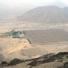
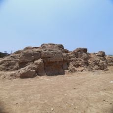
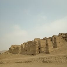
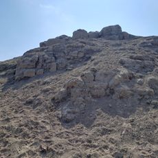
The Temple of Huacoy located within this district contains an ancient astronomical observatory that ranks among the earliest such structures built in the Americas. This archaeological site reveals that inhabitants here possessed advanced knowledge of the stars long before Spanish arrival.

Location
Inception
August 4, 1821
Elevation above the sea
238 m
Shares border with
Santa Rosa de Quives, San Antonio de Chaclla district, San Juan de Lurigancho, Comas District, Puente Piedra, Ancón District, Huamantanga District
GPS coordinates
-11.85000,-77.03333
Latest update
December 17, 2025 07:49

AroundUs brings together thousands of curated places, local tips, and hidden gems, enriched daily by 60,000 contributors worldwide. Discover all places nearby (Lima province).

« Carabayllo District - Administrative district in Northern Lima, Peru » is provided by Around Us (aroundus.com). Images and texts are derived from Wikimedia project under a Creative Commons license. You are allowed to copy, distribute, and modify copies of this page, under the conditions set by the license, as long as this note is clearly visible.

Discover hidden gems everywhere you go!

From secret cafés to breathtaking viewpoints, skip the crowded tourist spots and find places that match your style. Our app makes it easy with voice search, smart filtering, route optimization, and insider tips from travelers worldwide. Download now for the complete mobile experience.

Around Us App Screenshot

A unique approach to discovering new places

Le Figaro

All the places worth exploring

France Info

A tailor-made excursion in just a few clicks

20 Minutes

Around Us
Travel Guide & Maps
Download

Send to your phone

QR Code
1

Open the camera app on your mobile.

2

Point at the QR code with your camera. A notification will appear.

3

Tap the notification to open the link.