Enable Location

We need your location to show you interesting places around you

Discover nearby places

Find interesting locations and hidden gems around you

Precise directions

Get accurate directions and distances to places

Your location is never shared with other users. It's only used when you tap the location button.

Camilo Ponce Enríquez Canton

Log in to your account

Start exploring — it's free

Trusted by 62,923 travelers worldwide

Continue with Google
Continue with Apple
or

We will send you a code to connect

By continuing, you accept our Terms and Conditions and our Privacy Policy

Check your inbox

We've sent a pincode in your inbox. Please enter the code below.

Camilo Ponce Enríquez Canton
Discussion Reviews 1 Photos
12.5k Popularity

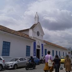
Camilo Ponce Enríquez Canton, Administrative canton in Azuay Province, Ecuador.

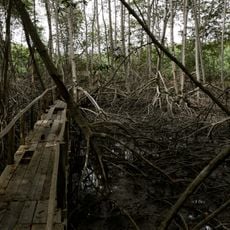
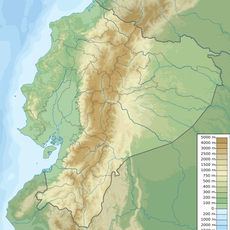
Camilo Ponce Enríquez Canton is an administrative region in Azuay Province situated in the western foothills of the Mollepongo Mountain Range. The territory encompasses a wide range of elevations, from low valleys to high mountain peaks.

The area originated as the Rio Siete de Mollepongo settlement and was designated a parish of Santa Isabel in 1959. It gained canton status in 2002.

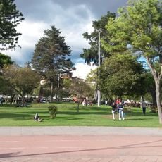
The population combines residents from Azuay, Guayas, Manabi, Loja, and Pichincha provinces, creating a diverse social structure in the region.

The region is accessible via the E25 highway and lies approximately 12 kilometers from the Gulf of Guayaquil. Cuenca, the nearest major city, is about three hours away by road.

The area is known for small-scale and artisanal gold mining operations in the mineral deposits of the Machala-Naranjal Subdistrict. This mining activity shapes the economic life of many local communities.

The community of curious travelers

AroundUs brings together thousands of curated places, local tips, and hidden gems, enriched daily by 60,000 contributors worldwide.

Start exploring
Location
Capital city
Camilo Ponce Enríquez
Elevation above the sea
362 m
Shares border with
Guayaquil, Santa Isabel Canton, Pucará Canton
GPS coordinates
-3.05000,-79.73333
Latest update
December 7, 2025 20:45
Reviews
Share your experience

No review yet

Discussions
Start a discussion...

No discussion yet

« Camilo Ponce Enríquez Canton - Administrative canton in Azuay Province, Ecuador » is provided by Around Us (aroundus.com). Images and texts are derived from Wikimedia project under a Creative Commons license. You are allowed to copy, distribute, and modify copies of this page, under the conditions set by the license, as long as this note is clearly visible.

Discover hidden gems everywhere you go!

From secret cafés to breathtaking viewpoints, skip the crowded tourist spots and find places that match your style. Our app makes it easy with voice search, smart filtering, route optimization, and insider tips from travelers worldwide. Download now for the complete mobile experience.

Around Us App Screenshot

A unique approach to discovering new places

Le Figaro

All the places worth exploring

France Info

A tailor-made excursion in just a few clicks

20 Minutes

Around Us
Travel Guide & Maps
Download

Send to your phone

QR Code
1

Open the camera app on your mobile.

2

Point at the QR code with your camera. A notification will appear.

3

Tap the notification to open the link.