Historic Centre of Santa Ana de los Ríos de Cuenca, Colonial old town and UNESCO World Heritage Site in Cuenca, Ecuador.
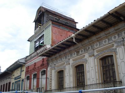
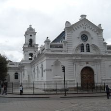
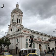
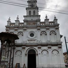
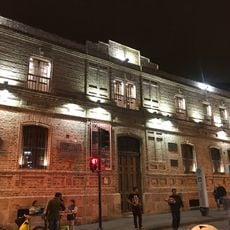
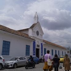
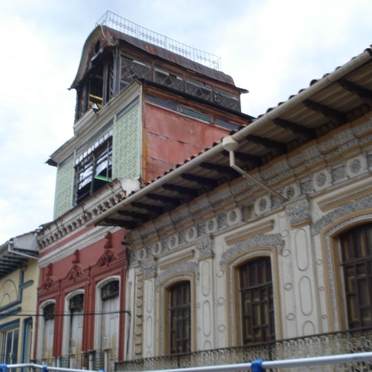
The Historic Centre of Santa Ana de los Ríos de Cuenca covers 224.14 hectares and keeps the orthogonal grid laid out in 1557 under the urban rules of Charles V. Its streets are lined with 19th-century houses and churches, and the Barranco district runs along the Tomebamba river. The corner building in the photograph has a cream wall carved with oval and circular motifs, three tall windows with dark wooden grilles, a red section with two arched windows, and a square tower whose upper part is light green lattice beneath a wooden gallery and curved roof.
Spanish colonists founded this settlement in 1557 in the highlands as a strategic control point between Quito and Lima. The establishment was part of the broader effort to consolidate colonial power and develop agricultural resources.
The city's name honours Santa Ana, and its Cañari root Guapondélig means "plain as large as the sky"; the Inca renamed the site Tumipampa, "valley of the knife". Along the Tomebamba river the Barranco quarter hangs over the water, and markets and craft workshops fill the colonial blocks.
Four rivers run through the valley where you can reach museums, churches, traditional markets, and craft shops on foot. The district is compact enough to explore by walking and offers rest spots and refreshments at many corners.
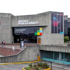
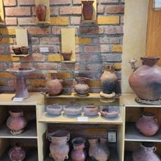
Underground lie the remains of a settlement built by the Inca and Canari peoples more than 500 years ago at the Pumapungo site. This archaeological layer reveals that people lived here long before the Spanish arrived and had their own organized society.
The community of curious travelers
AroundUs brings together thousands of curated places, local tips, and hidden gems, enriched daily by 92,692 contributors worldwide.