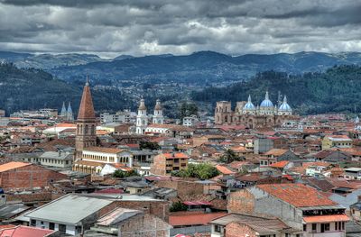
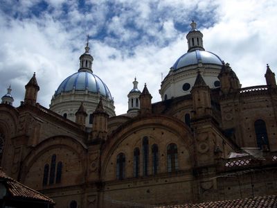
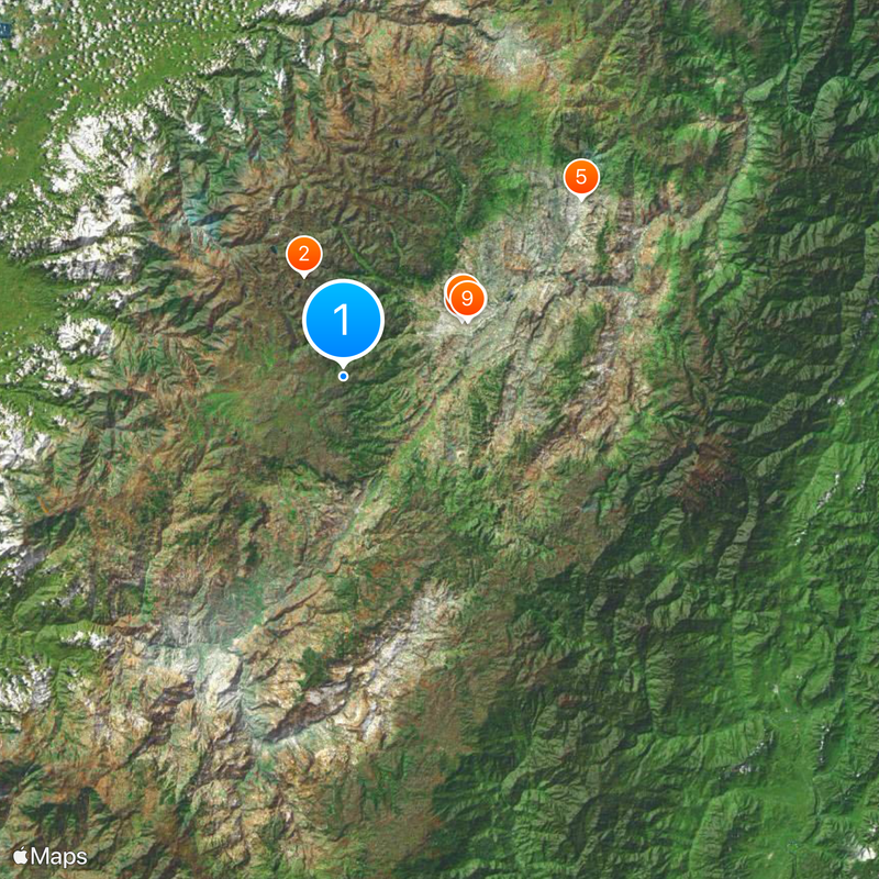
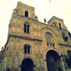
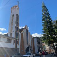
Azuay Province, Province in southern Ecuador
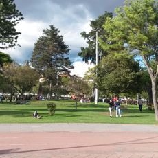
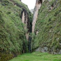
The province lies in the southern highlands and stretches from deep river valleys to high mountain zones and cloud forest areas. The landscape shifts between gentle green hills, steep mountain slopes, and wide plateaus covered with grassland and lakes.
This province was created in June 1824 as part of the newly formed republic and succeeded colonial administrative structures. Its capital had served as a major hub in the Inca empire centuries earlier.
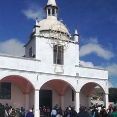
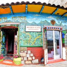
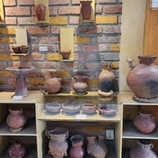
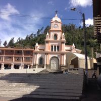
The name comes from an old indigenous word for water, pointing to the many rivers that flow through the region. People here keep traditions like weaving and pottery alive while growing crops on hillside terraces.
Travel usually happens along the main highland road or by air to the central city. Those visiting higher elevations should bring warm clothes and allow time to adjust to the altitude.
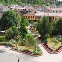
A large hydroelectric facility on the Paute River supplies much of the southern area with power and shapes the local economy. Many visitors know only the main city and miss the small villages with their markets and workshops.
Location: Ecuador
Inception: June 25, 1824
Capital city: Cuenca
Elevation above the sea: 2,500 m
Shares border with: Morona-Santiago Province, Cañar Province, Guayas Province, El Oro Province, Loja Province, Zamora Chinchipe
Website: https://azuay.gob.ec
GPS coordinates: -2.98333,-79.16667
Latest update: December 4, 2025 23:02
Ingapirca
59.1 km
El Cajas National Park
16.4 km
New Cathedral of Cuenca
20.4 km
Museo Pumapungo
20.7 km
Churute Mangroves Ecological Reserve
84.3 km
Shrine of the Virgin of the Cloud
45 km
Historic Centre of Santa Ana de los Ríos de Cuenca
20.3 km
Estadio Alejandro Serrano Aguilar
19.8 km
Basilica of El Cisne
100.8 km
Old Cathedral of Cuenca
20.5 km
Sanctuary of the Blessed Virgin of Rocio
43.2 km
Nariz del Diablo
88.5 km
Our Lady of the Cloud Monument
47.4 km
Cerro Cojitambo
39.6 km
Cathedral of Azogues
44.8 km
Museum Remigio Crespo Toral
20.2 km
Cerro de Arcos
72 km
Santuario Católico del Señor de los Milagros de Andacocha
54.2 km
Santuario Diocesano Católico del Señor de Burgos de Borma
31.7 km
Museo Municipal de Arte Moderno
19.8 km
Santuario Católico Eucarístico Diocesano San Antonio
52.7 km
Cañar River
75.8 km
Prohibido Centro Cultural
19.9 km
Negro River
99.5 km
Museum of Aboriginal Cultures
20.4 km
Balao Grande River
76.6 km
Monument to Abdón Calderón
20.4 km
Parque de la Madre
20.2 kmVisited this place? Tap the stars to rate it and share your experience / photos with the community! Try now! You can cancel it anytime.
Discover hidden gems everywhere you go!
From secret cafés to breathtaking viewpoints, skip the crowded tourist spots and find places that match your style. Our app makes it easy with voice search, smart filtering, route optimization, and insider tips from travelers worldwide. Download now for the complete mobile experience.
A unique approach to discovering new places❞
— Le Figaro
All the places worth exploring❞
— France Info
A tailor-made excursion in just a few clicks❞
— 20 Minutes