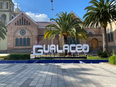
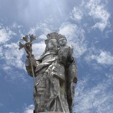
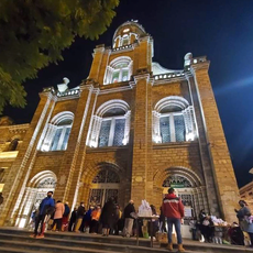
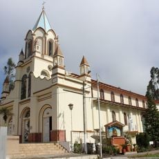
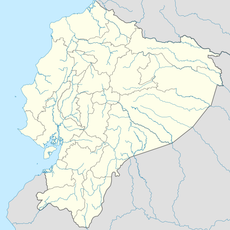
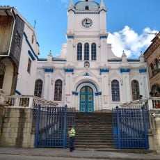
Gualaceo Canton, Administrative canton in Azuay Province, Ecuador.
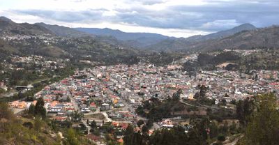
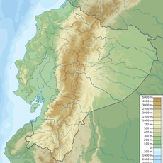
Gualaceo Canton is an administrative territorial division in Azuay Province located about 35 kilometers east of Cuenca, comprising nine parishes with one urban center and eight rural districts. The region sits in the highlands where the landscape transitions from cultivated valleys to more mountainous terrain.
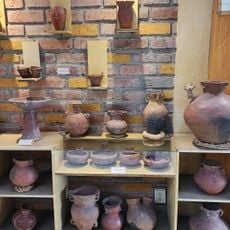
The canton was established in 1824 and originated from an ancient Cañari settlement that later attracted Spanish mining operations. The Santa Barbara River location made it a natural focal point for settlement and economic activity in those early years.
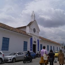
The central market displays regional food traditions through vendors serving local specialties like cuy and hornado prepared with generations-old methods. Walking through the market, you can observe how residents choose and use these foods in their daily life.
Getting around the region is easiest by car or local minibuses that connect the nine parishes and rural areas from the urban center. The mountain elevation means cooler weather and changing conditions throughout the day, so bringing layers is a good idea for any visit.
The region produces orchids that flourish in the highland climate and are exported to international markets, making it an unexpected center for this flower trade. Local weavers continue producing textiles by hand using methods passed down through many generations.
The community of curious travelers
AroundUs brings together thousands of curated places, local tips, and hidden gems, enriched daily by 60,000 contributors worldwide.