Cape Horn, Maritime landmark at Tierra del Fuego archipelago, Chile
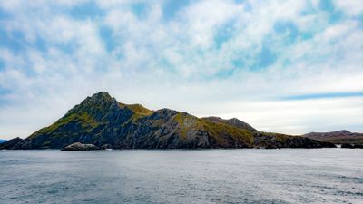
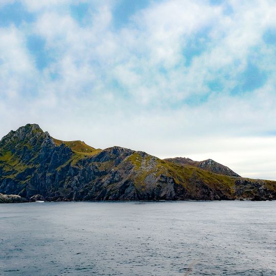
Cape Horn is a headland on Hornos Island in Chile's Hermite Islands, the southernmost point of the Tierra del Fuego archipelago. A single ridge of dark, jagged rock rises from the water, its upper slopes patched with yellowish-green vegetation and its highest point toward the left. It marks the northern edge of the Drake Passage.
Dutch navigators Willem Schouten and Jacob Le Maire first rounded the headland in 1616 and named it Kaap Hoorn after the Dutch city of Hoorn. It became a key milestone on clipper routes carrying trade around the world. The opening of the Panama Canal in August 1914 sharply reduced the need for ships to round the cape.
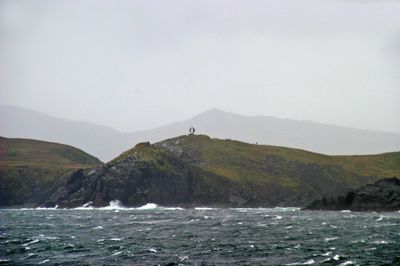
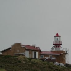
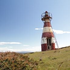
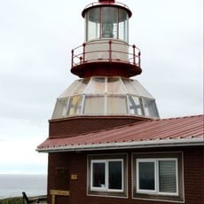
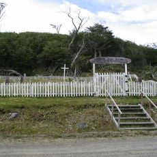
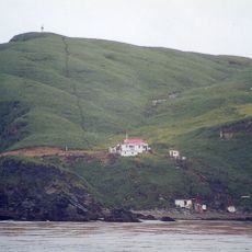
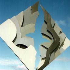
The name comes from the Dutch Kaap Hoorn, after the city of Hoorn; Spanish turned hoorn (horn) into horno (oven). The Chilean Navy station on Hornos Island has a chapel and lighthouse, and the Cape Horn Captains Brotherhood, Chilean section, raised the albatross memorial to sailors lost rounding the cape.
The area is known for extreme weather conditions, with strong storms and cold temperatures almost all year round. Travelers should bring warm clothing and windproof gear, even during the southern summer months.
The albatross sculpture by Chilean artist José Balcells was erected in 1992 on the initiative of the Chilean section of the Cape Horn Captains Brotherhood. Severe winds blew it over in 2014. A 2019 expedition found the world's southernmost tree, a Magellan's beech bent to the ground, on a northeast-facing slope at the island's southeast corner.
The community of curious travelers
AroundUs brings together thousands of curated places, local tips, and hidden gems, enriched daily by 92,365 contributors worldwide.