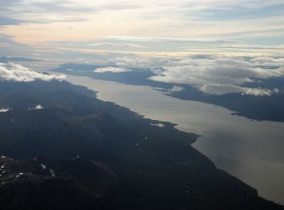
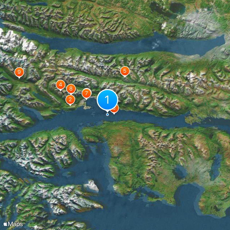
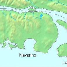
Beagle Channel, Strait in Tierra del Fuego Archipelago, Argentina and Chile
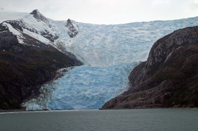
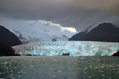
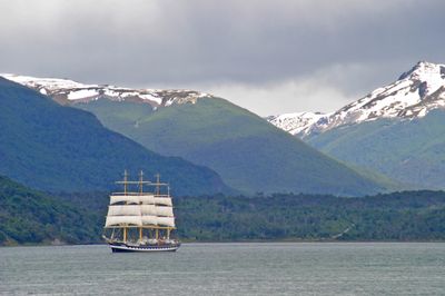
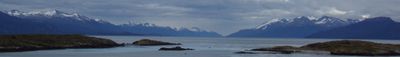
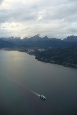
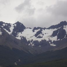
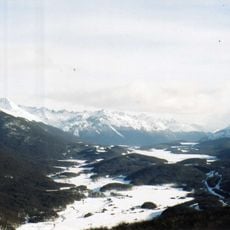
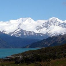
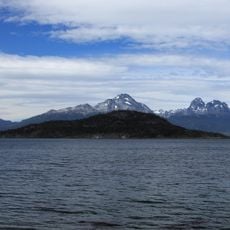
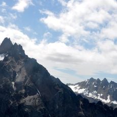
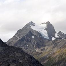
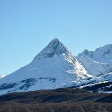
The Beagle Channel is a waterway between the main island of Tierra del Fuego and smaller islands further south, linking the Atlantic to the Pacific. It runs 240 kilometers through one of the southernmost sea passages on Earth, passing through landscapes of rugged mountains and wind-swept coasts.
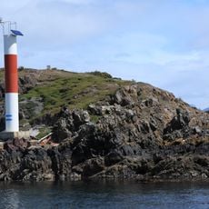
A British expedition surveyed this waterway in detail between 1826 and 1830 for the first time, giving it its present name. The resulting charts later enabled safe navigation in a region previously known only through rough sketches.
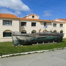
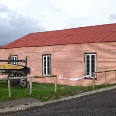
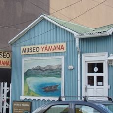
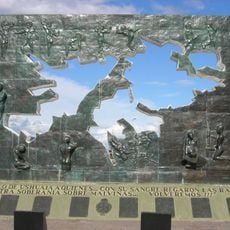
The waterway takes its name from a nineteenth-century ship and today forms an international border between two countries. Along the shores, visitors still find traces of very old settlements showing how people lived in this harsh environment for thousands of years.
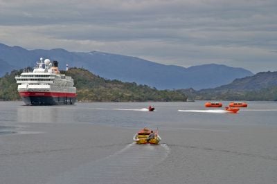
Vessels navigate this passage most easily from October to March when weather conditions are more stable than in winter. International ships require a local pilot in certain sections, as currents and shallow spots demand precise knowledge of the area.
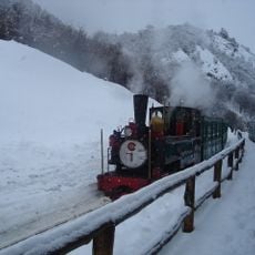
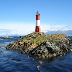
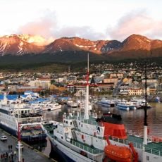
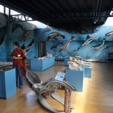
Those traveling by boat often spot sea lions, penguins, and dolphins in the cold waters at many points along the way. Nearby are two of the southernmost inhabited places on Earth, from which many tours depart.
The community of curious travelers
AroundUs brings together thousands of curated places, local tips, and hidden gems, enriched daily by 60,000 contributors worldwide.