Puerto Williams

Log in to your account

AroundUs is a community-driven map of interesting places, built by curious explorers like you. It grows with every review, story, and photo you share.
Connect to save your favorite spots, contribute locations, and create personalized routes.
Continue with Google
Continue with Apple
Continue with X
Continue with Facebook
Continue with email
By continuing, you accept our Terms and Conditions and our Privacy Policy
Create an account
Add to collection
Map
Suggest a change
Share

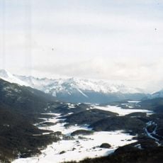
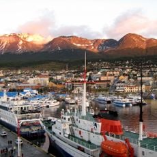
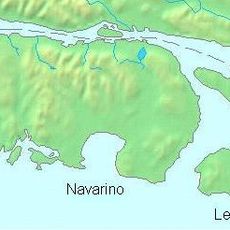
Puerto Williams, Naval base and port settlement in Navarino Island, Chile

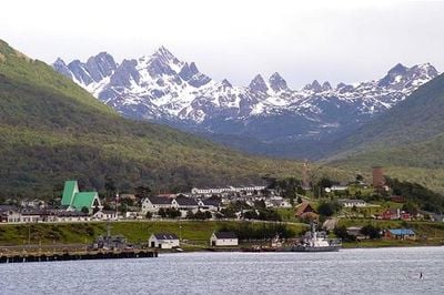
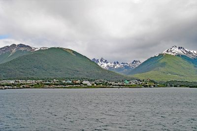
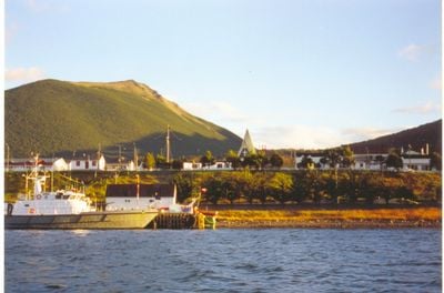
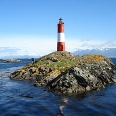
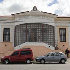
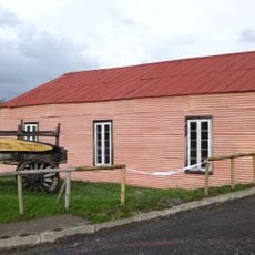
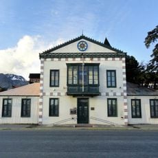
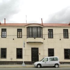
Puerto Williams stretches along the northern coast of Navarino Island at 6 meters elevation, home to 2,874 residents facing the Beagle Channel. The settlement comprises naval facilities, residential neighborhoods, a small museum, and services for researchers and travelers heading to subantarctic destinations.

Founded in 1953 as Puerto Luisa, the settlement received its current name honoring John Williams Wilson, who established the first permanent settlement in the Strait of Magellan during the 19th century. Development accelerated following the Beagle conflict between Chile and Argentina in the 1970s.

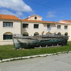
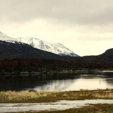
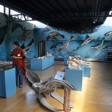
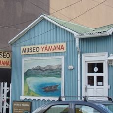
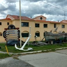
The Yámana community inhabited these shores for over 10,000 years, developing specialized skills for maritime life including bark canoe construction and seal hunting. The Chilean Navy maintains a significant presence here, contributing to regional sovereignty in the southernmost inhabited areas of the Americas.

Daily flights from Punta Arenas to Guardiamarina Zañartu Airport take approximately 90 minutes, while a weekly ferry service operates across the Beagle Channel. Accommodation options are limited and should be booked in advance, particularly between November and March during trekking season.

The University of Magallanes operates a research center here serving as a logistical base for scientific expeditions to the Cape Horn Biosphere Reserve. The center coordinates international studies on subpolar ecology and climate research, providing year-round support for fieldwork.

Location: Cabo de Hornos

Inception: 1953

Elevation above the sea: 6 m

Address: Puerto Williams, Cabo de Hornos, Magallanes and Chilean Antarctica, Chile

Website: http://ptowilliams.cl

GPS coordinates: -54.93577,-67.60625

Latest update: December 12, 2025 18:02

Photos
Must-see attractions in Chile, land of contrasts

Chile stretches over 2,670 miles (4,300 kilometers) from north to south, crossing some of South America's most varied landscapes. The north features the Atacama Desert with its salt flats, geysers at El Tatio, and astronomical observatories such as Paranal. The coastal city of Valparaíso displays...

Reviews

Visited this place? Tap the stars to rate it and share your experience / photos with the community! Try now! You can cancel it anytime.

« Puerto Williams - Naval base and port settlement in Navarino Island, Chile » is provided by Around Us (aroundus.com). Images and texts are derived from Wikimedia project under a Creative Commons license. You are allowed to copy, distribute, and modify copies of this page, under the conditions set by the license, as long as this note is clearly visible.

Discover hidden gems everywhere you go!

From secret cafés to breathtaking viewpoints, skip the crowded tourist spots and find places that match your style. Our app makes it easy with voice search, smart filtering, route optimization, and insider tips from travelers worldwide. Download now for the complete mobile experience.

Around Us App Screenshot

A unique approach to discovering new places

Le Figaro

All the places worth exploring

France Info

A tailor-made excursion in just a few clicks

20 Minutes