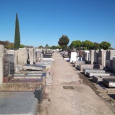
Ciudad Evita, Planned residential district in La Matanza, Argentina
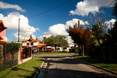
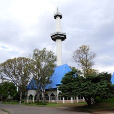
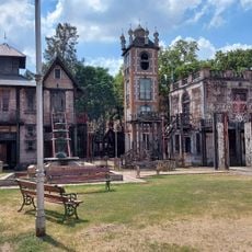
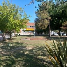
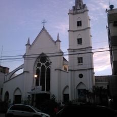
Ciudad Evita is a planned residential district in La Matanza featuring Spanish Colonial Revival-style houses interspersed with green spaces and tree-lined streets. The neighborhood contains a mix of single-family homes arranged in organized blocks, with schools, shops, and public facilities distributed throughout.
The settlement was established in 1947 through a presidential decree to create a modern housing community for working-class families. Over the decades, it experienced several name changes reflecting the country's shifting political landscape and leadership.
The name honors Eva Perón, wife of the then-president, reflecting her role in the community's creation and social vision. Walking through the streets, you can still observe how public spaces and shared facilities were planned to serve the entire neighborhood.
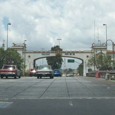
The location sits west of Buenos Aires and is easily accessible via the Riccheri Highway, connecting to nearby transportation networks. Visitors should plan to use local buses or personal transport, as the area is spread out and difficult to explore entirely on foot.
The street layout was deliberately designed to create a distinctive pattern visible from above when flying over the nearby airport. This intentional design detail remains largely invisible to ground-level visitors but represents a thoughtful approach to urban planning from that era.
The community of curious travelers
AroundUs brings together thousands of curated places, local tips, and hidden gems, enriched daily by 60,000 contributors worldwide.