National Route 3, Highway network in Buenos Aires Province, Argentina
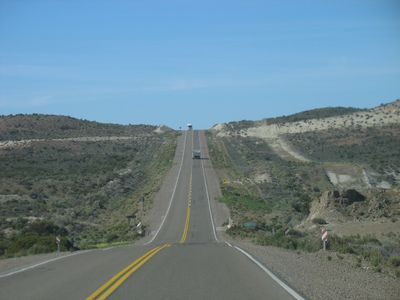
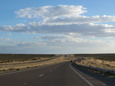
National Route 3 extends for 3045 kilometers from Buenos Aires to Tierra del Fuego, crossing five provinces along the Atlantic coast and through Patagonian plains. Much of the route runs parallel to the ocean and passes through coastal towns, semi-desert terrain, and grasslands that narrow toward the southern end.
Construction of the road began in the early 20th century as part of a plan to connect remote provinces with the north and facilitate the transport of goods and people. Over the decades, the route was gradually paved and extended with new segments added until it reached Tierra del Fuego via a ferry link.
The road connects settlements along the Patagonian coast and southern Argentina, where travelers sample beef stews, grilled lamb, and regional baked goods in roadside inns and restaurants. Some stretches pass through areas where sheep farming has been practiced for generations and small towns hold their markets and festivals according to the rhythm of the seasons.
Travelers should refuel and stock supplies at larger towns along the route, as distances between service stations and shops can be considerable in the southern stretches. The ferry crossing of the Magellan Strait between Santa Cruz and Tierra del Fuego takes about 20 minutes and connects the two sections of the route.
On some stretches in the northern part, the road climbs above 5000 meters (16400 feet) in altitude and passes near archaeological sites and old sheep ranches that are still worked today. In the southern section, travelers can sometimes spot dolphins or seabirds from the ferry as they feed in the cold waters of the strait.
The community of curious travelers
AroundUs brings together thousands of curated places, local tips, and hidden gems, enriched daily by 60,000 contributors worldwide.