Tierra del Fuego, Antarctica and South Atlantic Islands Province
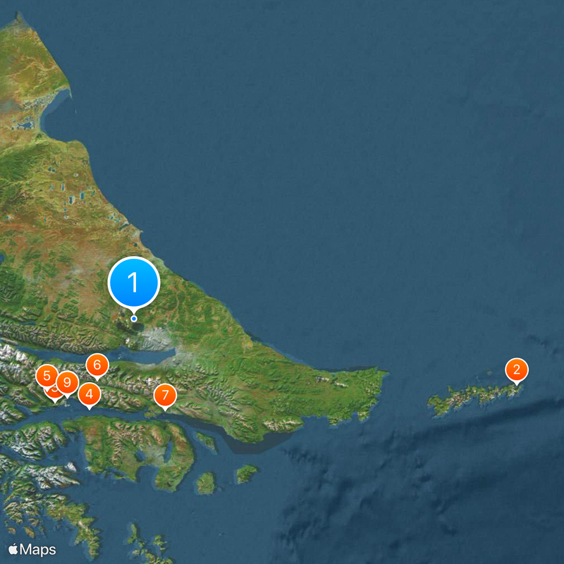
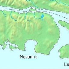
Tierra del Fuego, Antarctica and South Atlantic Islands Province, South Atlantic province in southern Argentina.
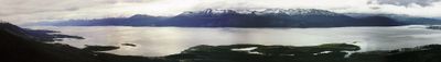
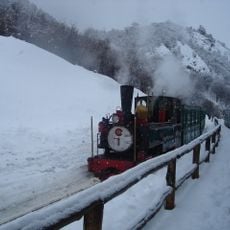
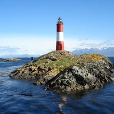
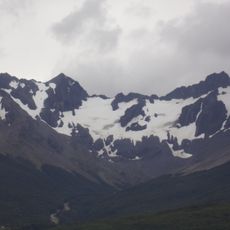
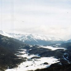
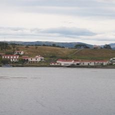
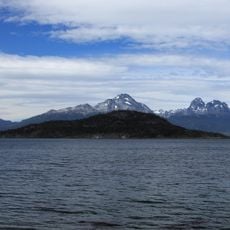
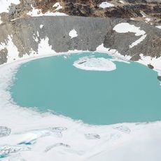
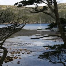
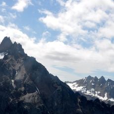
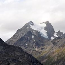
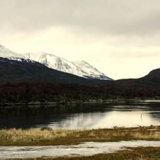
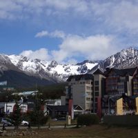
This province covers the eastern part of the main island and includes mountains, glaciers, forests and coastal plains between the Strait of Magellan and the Beagle Channel. The landscape shifts from windswept grasslands in the north to forested valleys and snowy peaks in the south.
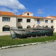
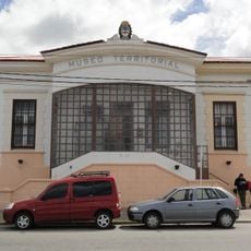
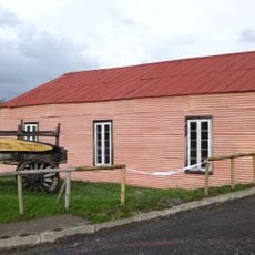
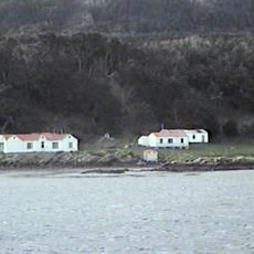
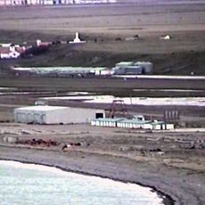
Ferdinand Magellan documented the region while passing through the strait named after him in 1520. European settlements formed here from the mid-1800s onward as the Argentine government established a penal colony and later trading posts.
The name comes from Magellan's observation of campfires along the coast and literally means Land of Fire. Today many residents call their home El Fin del Mundo, the End of the World, a phrase that appears everywhere in shops and cafés.
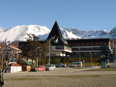
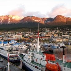
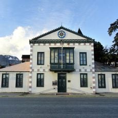
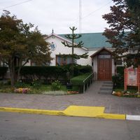
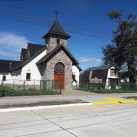
The two main cities Ushuaia and Rio Grande offer lodging, shops and starting points for trips into the surrounding areas. Weather changes quickly so layered clothing is advisable even in summer.
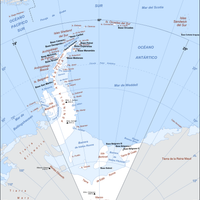
The provincial administration officially claims territories in Antarctica and on South Atlantic islands, expanding its area on paper enormously. These territorial claims are internationally disputed and not recognized by other nations.
Location: Argentina
Inception: 1990
Capital city: Ushuaia
Elevation above the sea: 144 m
Reference: TDF
Shares border with: Santa Cruz Province, Magellan and the Chilean Antarctic Region
Website: https://tierradelfuego.gob.ar
GPS coordinates: -54.36200,-67.63800
Latest update: December 14, 2025 21:05
Fin del Mundo Lighthouse
247.6 km
Southern Fuegian Railway
72.9 km
Les Eclaireurs Lighthouse
63.6 km
Glaciar Martial
71.6 km
Cerro Castor
44.9 km
Harberton Ranch
60.8 km
Museo Marítimo de Ushuaia
64.9 km
Museo del Fin del Mundo
65.3 km
Reserva Costa Atlántica
127.7 km
Martial Mountains
69 km
Vinciguerra Glacier
60.3 km
Redonda Island
77.9 km
Martin Gusinde Anthropological Museum
63.9 km
Glaciar Ojo del Albino
62.3 km
Omora Ethnobotanical Park
63.9 km
Reserva natural silvestre Isla de los Estados y Archipiélago de Año Nuevo
220.3 kmBahía Aguirre
122.4 km
Cerro Cinco Hermanos
54.1 km
Ex Casa de Gobierno
65.6 kmBahía Buen Suceso
160.8 km
Cerro Vinciguerra
65.1 km
Estancia Remolino
57.3 kmPlaya Larga
62 km
Reserva Laguna Negra
29.3 km
Acatushun museum
60.3 km
Museo Yámana
65.4 kmReserva Corazón de la Isla
27.8 km
Puerto Caleta La Misión
73.9 kmVisited this place? Tap the stars to rate it and share your experience / photos with the community! Try now! You can cancel it anytime.
Discover hidden gems everywhere you go!
From secret cafés to breathtaking viewpoints, skip the crowded tourist spots and find places that match your style. Our app makes it easy with voice search, smart filtering, route optimization, and insider tips from travelers worldwide. Download now for the complete mobile experience.
A unique approach to discovering new places❞
— Le Figaro
All the places worth exploring❞
— France Info
A tailor-made excursion in just a few clicks❞
— 20 Minutes