Vicente López, Municipality in Buenos Aires Province, Argentina
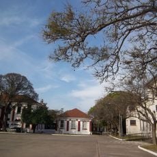
Vicente López is a suburban district north of Buenos Aires located along the Río de la Plata, comprising residential blocks, commercial streets, and open green areas. Its layout follows a grid pattern typical of Buenos Aires suburbs, with tree-lined avenues, neighborhood plazas, and scattered local businesses serving daily needs.
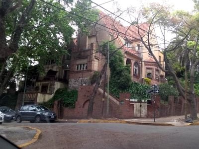
The area began as farmland and transformed into a residential district during the 20th century as Greater Buenos Aires spread northward. Population growth accelerated particularly from the 1950s onward, when improved railway connections made commuting to downtown viable for thousands of workers.
The locality functions as a residential hub where daily life centers on neighborhood interactions and local commerce along tree-lined streets. Community spaces serve as natural meeting points for residents navigating life between home and their work in the capital.
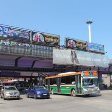
The best way to navigate is by using the train line that runs directly to downtown Buenos Aires or catching buses that serve most streets throughout the district. Walking is comfortable on tree-lined avenues and wide sidewalks, particularly along the main thoroughfares where most businesses and services cluster.
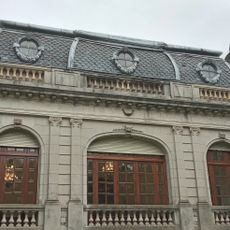
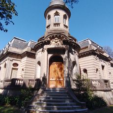
The railway station daily connects thousands of residents to downtown Buenos Aires, yet the neighborhoods surrounding it preserve the architectural heritage of this suburban migration. The older homes and street patterns tell the story of how early arrivals shaped these communities by choosing to settle where convenient access to the city was possible.
The community of curious travelers
AroundUs brings together thousands of curated places, local tips, and hidden gems, enriched daily by 60,000 contributors worldwide.