
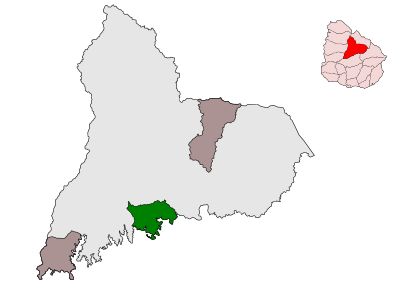
Municipality of San Gregorio de Polanco, municipality in Tacuarembó Department, Uruguay
Location: Tacuarembó Department
GPS coordinates: -32.49218,-55.86906
Latest update: April 4, 2025 06:07
Rincón del Caqute
64 km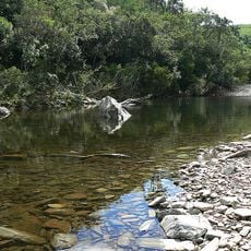
Quebrada de los Cuervos
140.9 km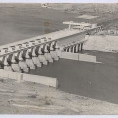
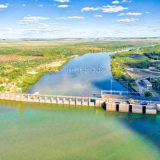
Represa de Baygorria
97.4 km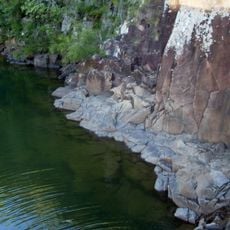
Natural Protected Area Valle del Lunarejo
155.4 km
Palace Cave
146.9 km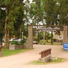
Reserva de flora y fauna Dr. Rodolfo Tálice
150.7 km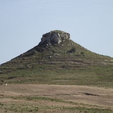
Cerro Batoví
69.9 km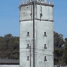
Faro de Rincón del Bonete
64.4 km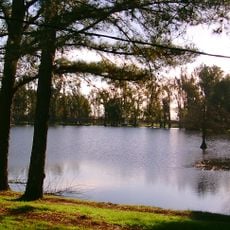
Laguna de las Lavanderas
86.2 km
Rincon de tres cerros
99 km
Localidad Rupestre de Chamangá
135.3 km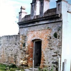
Capilla Farruco
58.3 km
Pozo Hondo
79.4 km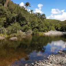
Quebrada de los cuervos
140.7 km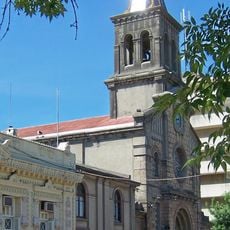
Cathedral of Tacuarembó
87.5 km
Museo Carlos Gardel
79.9 km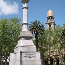
Monument to Christopher Columbus
116.2 km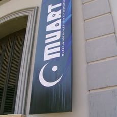
Museo de Artes Visuales de Tacuarembó
87.6 km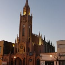
Santa Isabel, Paso de los Toros
69.7 km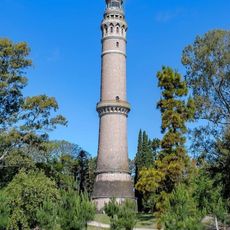
Faro Torre de Gaboto
10.3 km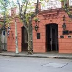
Casa de Rivera, Durazno
116.2 km
Sports museum in Tacuarembó
87.3 km
Parque Natural Regional Valle del Lunarejo
148.4 km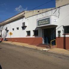
Museo de Geociencias
87.5 km
Parque 25 de Agosto
86.2 km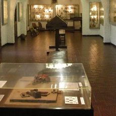
Museo del Indio y del Gaucho Washington Escobar
87.3 km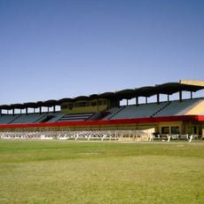
Estadio Goyenola
87.6 km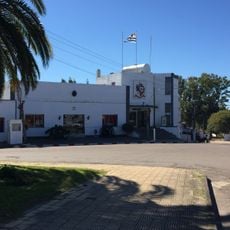
Centro de detención del Grupo de Artillería No 3
69.5 kmReviews
Visited this place? Tap the stars to rate it and share your experience / photos with the community! Try now! You can cancel it anytime.
Discover hidden gems everywhere you go!
From secret cafés to breathtaking viewpoints, skip the crowded tourist spots and find places that match your style. Our app makes it easy with voice search, smart filtering, route optimization, and insider tips from travelers worldwide. Download now for the complete mobile experience.

A unique approach to discovering new places❞
— Le Figaro
All the places worth exploring❞
— France Info
A tailor-made excursion in just a few clicks❞
— 20 Minutes