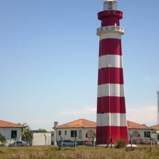
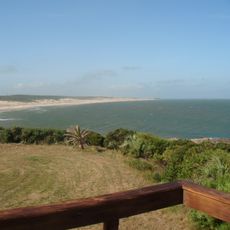
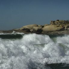
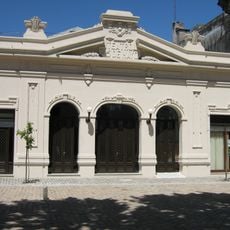
San Miguel national park, Nature reserve in 18 de Julio, Uruguay.
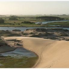
San Miguel National Park covers 1,542 hectares in northeastern Rocha department, centred on the Sierra de San Miguel, part of the Arequita formation with volcanic rock. A line of low hills runs southwest to northeast, including Cerro Vigía at 152 metres, Cerro La Carbonera at 130 and Cerro Picudo at 100, with wetlands around the range. It holds Uruguay's largest pindó palm population.
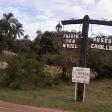
The park was created by law 9718 of 29 October 1937, which declared the fiscal land around the Fuerte de San Miguel a national park. From then until 1974 it was run by the Honorary Commission for the Restoration and Conservation of the Santa Teresa Fortress and San Miguel Fort, then by the National Army until 1991. A 1992 law renamed it a national fauna and flora reserve, and on 8 February 2010 decree 54/010 brought it into the SNAP as San Miguel national park.
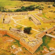
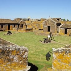
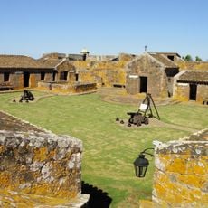
The park keeps a herd of about 300 criollo cattle descended from animals introduced by Hernandarias in the 17th century, recovered by Horacio Arredondo in the 1930s and 1940s and managed by the Army Parks Service; UNESCO protects this genetic reserve. The stone Fortín de San Miguel, built in 1941 on Arredondo's initiative, now serves as a guesthouse with a restaurant, guided visits, walks and horse rides.
Visitors should check weather conditions and bring proper equipment, as some areas can be difficult to access. It's wise to plan tours in advance and contact park staff about accessibility and trail conditions.
The park holds Uruguay's largest population of pindó palms, growing on the granitic hills of the Sierra de San Miguel. Its 300 head of criollo cattle descend from animals introduced by Hernandarias in the 17th century and are protected by UNESCO as a genetic reserve.
The community of curious travelers
AroundUs brings together thousands of curated places, local tips, and hidden gems, enriched daily by 92,797 contributors worldwide.